|
This page is about the Columbus Day weekend that Norma and I spent in West Virignia. |

|
This page is about the Columbus Day weekend that Norma and I spent in West Virignia. |
|
Columbus Day weekend is a time of very mixed emotions for me. The weather can be spring-like with low humidity, and few mosquitos. The fall colors can be beautiful. But the days are getting short and kayaking season is almost over.
Rather than dread what is to come in the next few months, why not enjoy the moment? That is just what Norma and I did. Hence, we headed out on the evening of Friday, October 7. We stopped at Hazel's (Norma's mother's) house and spent the night there. That put us a lot closer to West Virginia than if we left Saturday.  |
|
Norma and I started the day by heading out to Elkins, West Virginia. We hoped to find some trails we hadn't yet explored along the way but we really didn't have much of a plan so instead of hiking, we just did a scenic drive.
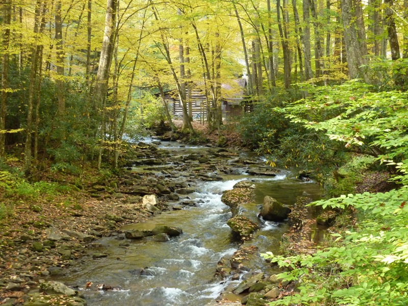
We passed by Laurel Fork Wilderness, which I backpacked on September 1-3, 2007. Norma and I drove by the east side of Otter Creek Wilderness. This brought back memories of our April 12, 2009 hike. Driving south on CR28, we passed the trailhead. Fancy mushrooms were growing just off the side of the road near pastoral creeks. 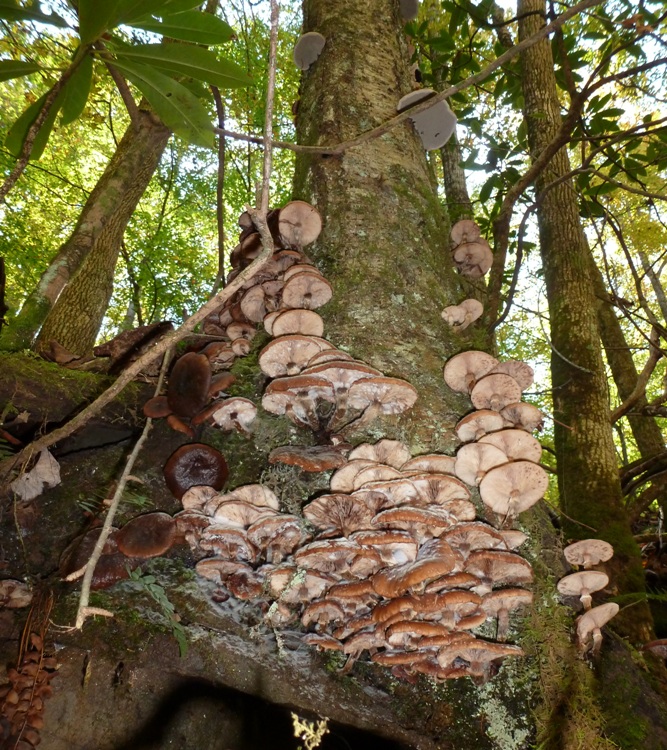
I think the creeks were Glady Fork and Dry Fork. 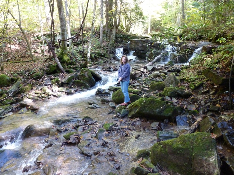
We saw some really pretty, small waterfalls. I'm not sure how this happened but somehow we drove in a loop to get back to where we started. My West Virginia DeLorme map doesn't show a tremendous amount of detail so we might have got off on the wrong road. Rather than risk running out of gas (we were low), we decided to play it safe and head to the nearest town rather than continue our search for trails. |
|
In/near the town of Parsons, we stopped at a military surplus stand. I bought some fleece overalls for $10.
We met Joyce (Norma's middle sister), Jimmy (Joyce's husband), their foster child, and Laah (Norma's youngest sister) in Elkins at the parade. This was part of their Mountain State Forest Festival. There were several marching bands and fine floats. Actually, it really seemed more like a truck show as the floats were being pulled by pristine, heavy duty, 4x4s. It was a beautiful day to be outside. The whole weekend had fantastic weather...the kind that only comes maybe three times a year in Maryland. 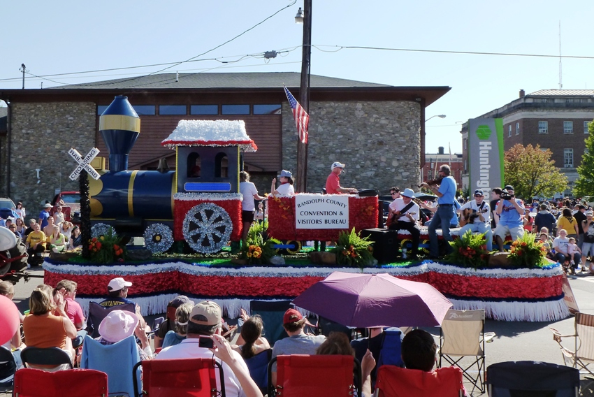
As I looked around at the parade, I thought to myself, "Look at all the rednecks with their unshaven faces, camoflage hats, sleeveless shirts, and tattoos." Then I realized that I fit that description. We walked around the Elkins College campus. We saw lots of crafts and got to see a big bandsaw demonstration where they took an 18-inch diameter log and made it into one-inch thick lumber. Surprisingly, it wasn't very loud. Nearby, someone was taking the scrap lumber and branding it with the event logo. 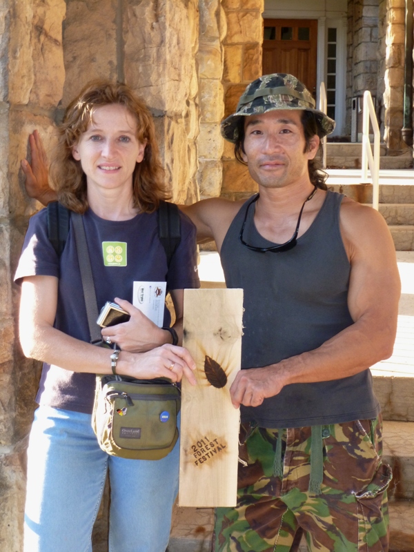
Here's Norma with her sisters on campus. 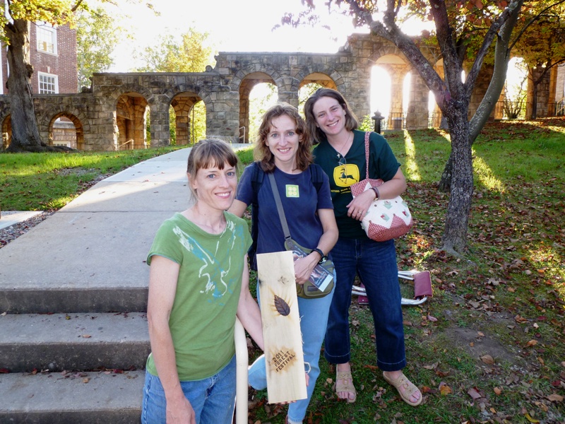
|
|
We ate dinner at the Railyard then went to American Mountain Theater for a musical. The performers were quite talented although it was a little too evangelical for my taste and too patriotic for Norma.
That night, we stayed at the Valley View Motel in Mill Creek, which is about 20 minutes south of Elkins. |
|
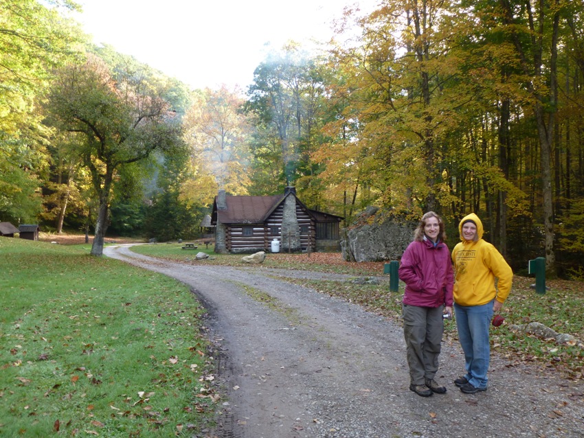
The next morning, Laah, Norma, and I drove out to Kumbrabow State Forest.
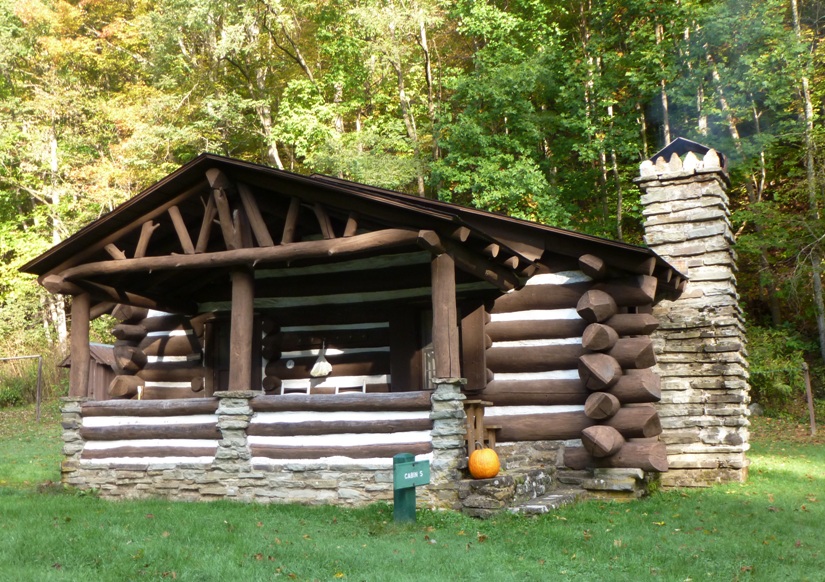
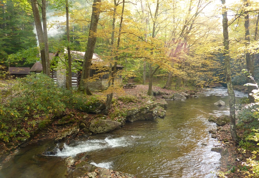
The 9,474 acres of forest range from 3,000 to 3,930 feet above sea level, making Kumbrabow the state's highest forest. Acquired in 1934, the forest derives its unusual name from three prominent families instrumental in the land purchase, KUMp-BRAdy-BOWers. - from park pamphlet I guess the name is sort of like Sixx A.M., the hard rock band comprised of Nikki SIXX, DJ Ashba, and James Michael. We checked out the cabin area. There were about four very nice, large cabins, though unfortunately, they don't have indoor restrooms. But pit toilets were only about 75 feet away. We took a short walk to Mill Creek Falls. 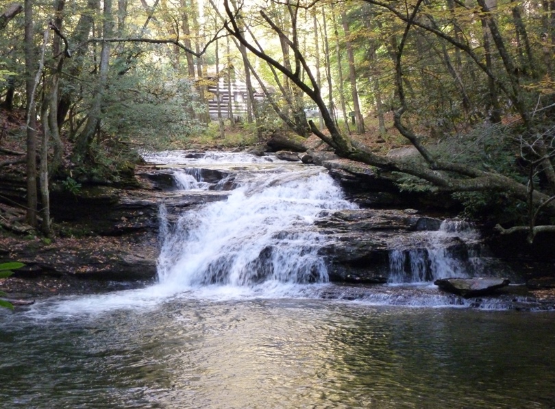
Here's the creek that feeds it. 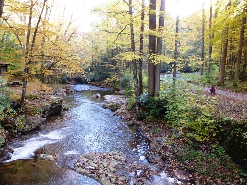
Apparently, there is another Mill Creek Falls, also in West Virginia, that is much higher. Why there are two falls with the same name in the same state, I know not. Maybe for the same reason there are so many "Turkey Points" in Maryland. |
|
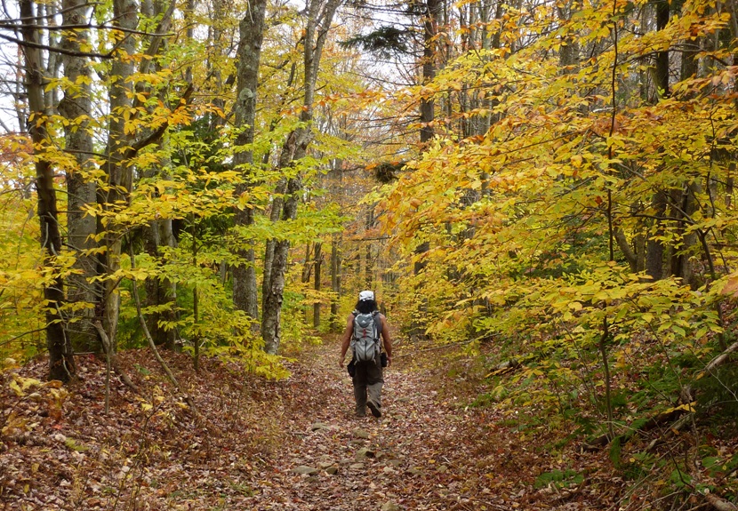
Still in the state forest, we drove to the forest headquarters. Here we were greeted by a very friendly ranger who shook our hands. He had without a doubt the strongest hands I've ever shaken. We commenced our hike on Potato Hole Trail near a little dam with water flowing over.
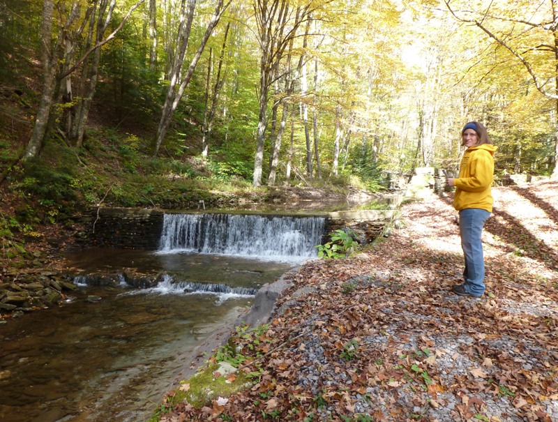
The trail was supposedly yellow-blazed, though we saw only about four blazes on the entire two-mile stretch. The path was very had to follow as it was overgrown, but once you got off it, it was obvious because there were so many breyers. Most of the trail ran parallel to Potato Hole Fork. It ended at the foundation for an old forest fire lookout tower on a branch road of the Rich Mountain Fire Trail. It was moderately scenic but there were no overlooks. On the way back, we found Joyce, Jimmy, and their foster. Our total hike was four miles. 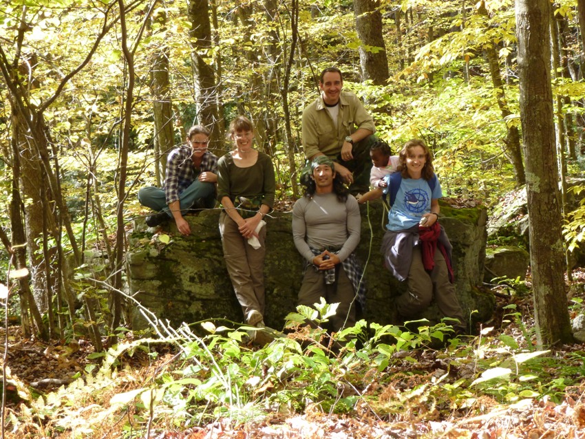
It would have been nice to explore Holly River State Park, about 14 miles away, but we were running short on time. |
|
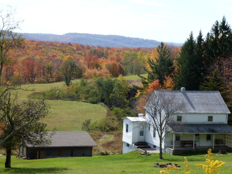
Our drive from the forest took us past some nice autumn views.
Our next stop was the town of Helvetia, which is like a little Swiss village. Settled by a group of Swiss and German immigrants who came via Brooklyn, New York in 1869. In addition to farmers and herdsmen, many craftsmen and professionals were among the settlers: stone masons, carpenters and painters; wagon, shoe, watch, hat and cheese makers; musicians, teachers, ministers and doctors. Later groups from Switzerland and other parts of the U.S. boosted 1875 population to 308. - from town sign We ate lunch at the Hutte Restaurant. The place looked like an old residence. The meat was good but it was rather pricey for a buffet. Thus, I made sure to eat lots of expensive food since the cost would have been the same as if I ate cheap food. 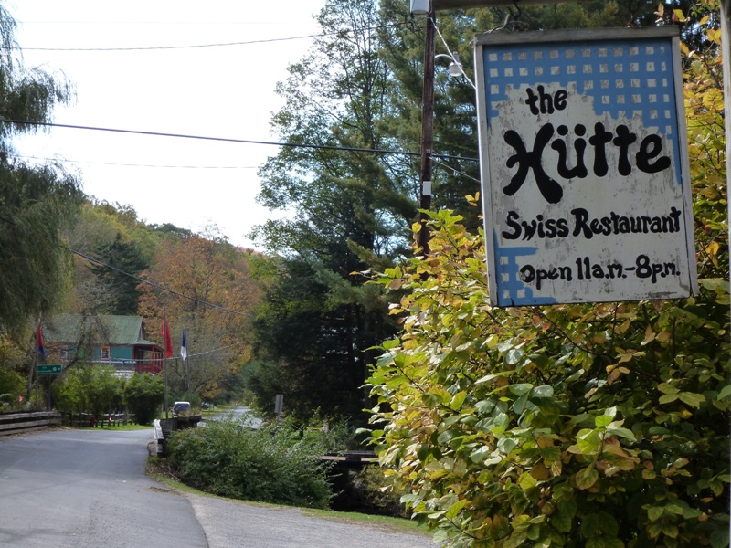
Afterwards, we hung out on a grassy area near a stream. I found a very comfortable rock on which to nap while Joyce and Jimmy's foster posed for photos. Quite photogenic, don't you think? 
|
|
Laah headed home while the rest of us drove out to the Gaudineer Scenic Area.
This area preserves a small remenent of the virgin spruce forests which originally spread across the highest mountaintops of West Virginia. - from trail sign...yes, "remenent" is how the sign spelled remnant We walked on the half mile interpretive loop trail near the Allegheny Trail. 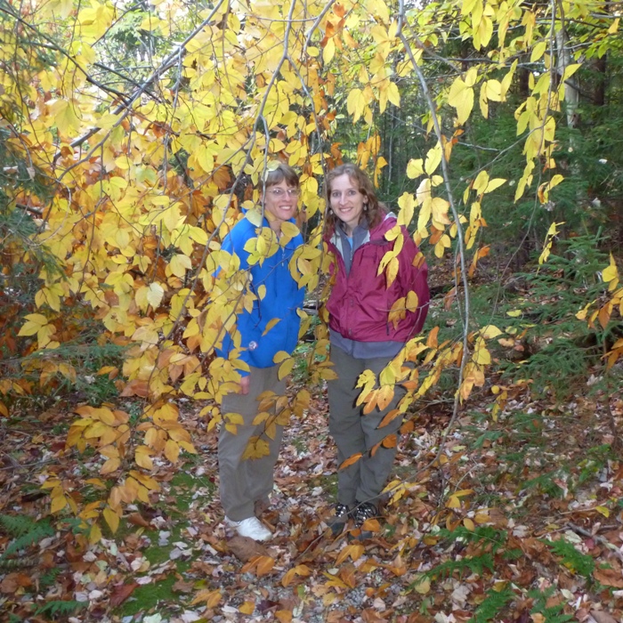
Actually, the baby didn't walk since her legs aren't yet long enough to reach the ground. 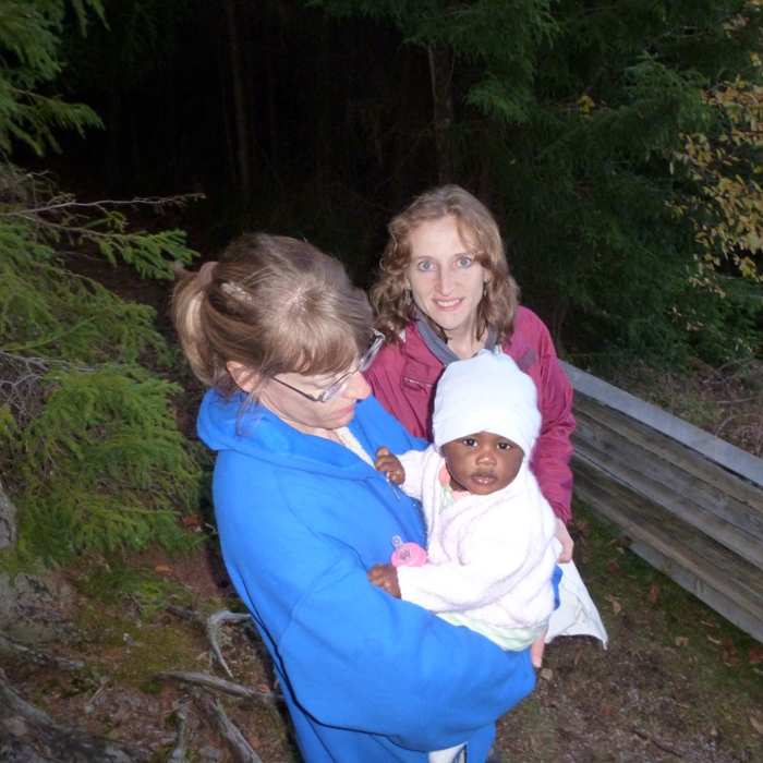
As the sun began to set, we made our way to the Gaudineer Overlook and Gaudineer Knob. 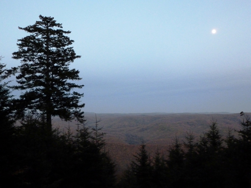
We stopped at Cheat Summit Fort but by then it was too dark to see anything except a sign describing General Robert E. Lee's attack on the fort. |
|
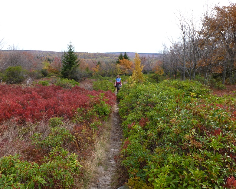
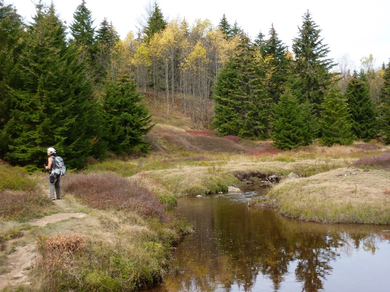
Norma and I were up before the red dawn. We packed up then drove to one of our favorite backpacking areas, Dolly Sods Wilderness. I was first introduced to the place by Norma on September 9-10, 2006.
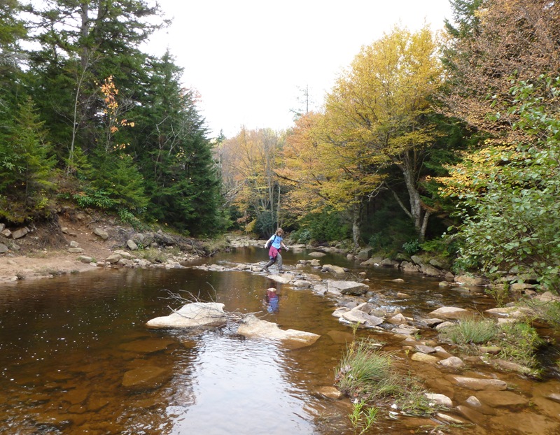
By about 0930, we started our hike at Red Creek Campground. From here, we headed west on Blackbird Knob Trail (TR511). This took us right by Blackbird Knob which we couldn't see through all the trees. This trail is given an exceptional rating for scenery in Monongahela National Forest Hiking Guide, a book that I highly recommend. There were lots of big, open views and vibrant fall colors. All the colors and great views reminded me of my Quehanna backpacking trip on October 21-23, 2006. Since forest vegetation in this area is sparse, good views of the surrounding hills are seen along much of the trail's length. Mountain laurel, azaleas and blueberry are common. - from Monongahela National Forest Hiking Guide It wasn't as sunny as the previous two days but this meant we didn't get so many harsh shadows as is typically common at this time of year. But the air temperature was ideal for hiking. 
The worst thing about Dolly Sods is all the mud. The trails often pass through places where water runs, and as a result, there are lots of muddy footprints. I don't know if this could be avoided without putting forth a great deal of time and money. I think it is just the way it is and will be. But along with this water are some scenic stream crossings. We saw some interesting plants ready to release their seeds. 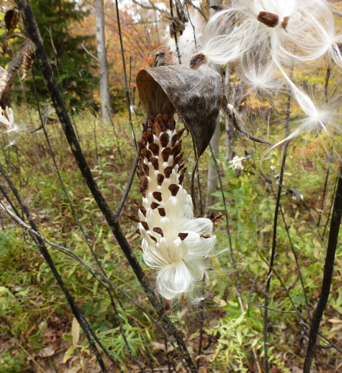
I saw a grouse fly away. We both saw a milk snake (not to be confused with a milk shake). That is the first of its kind that I'd ever seen. It was only about seven inches long. 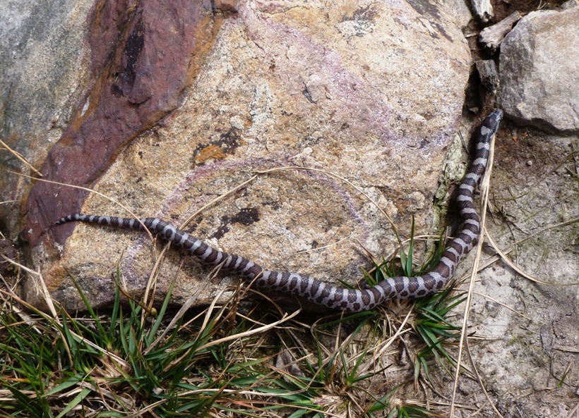
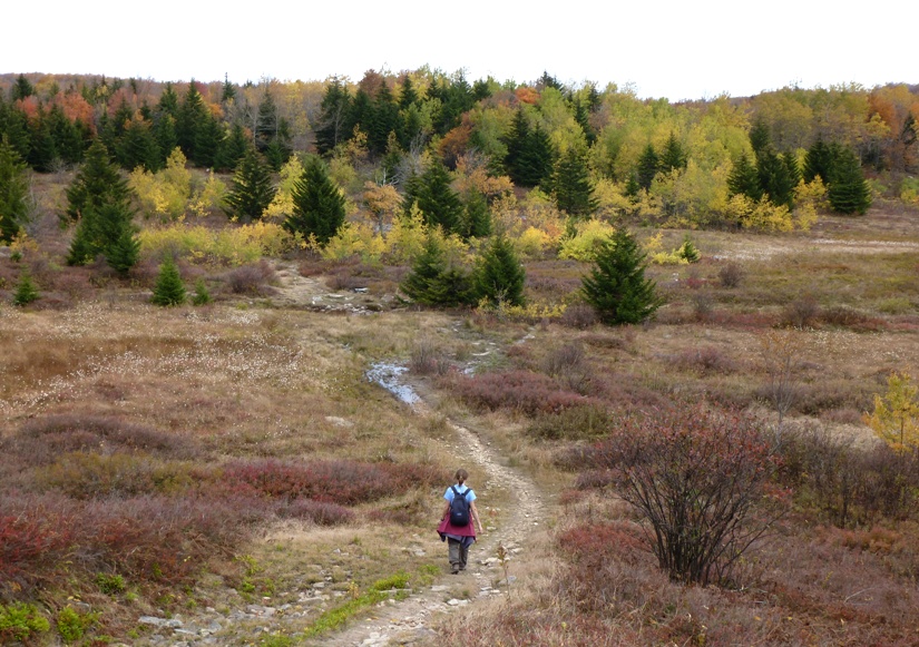
We took Harman Trail (TR525) heading northwest to the end. Here we ate lunch. Next we headed north on Rocky Ridge Trail (TR524) for less than a mile. Then we turned right (east) on Dobbin Grade Trail (TR526). Despite a lack of blazes, the trails were easy to follow, though the signs weren't always the most helpful. You'll definitely want to bring a map. In the pic below, I am wondering which way to go. 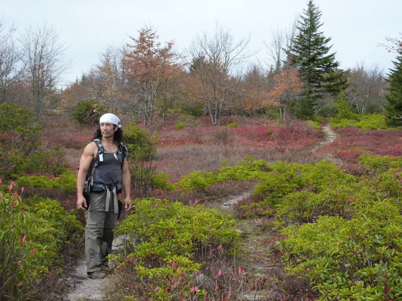
We turned right (south) on Upper Red Creek Trail (TR509). I believe it was around here that we came to a stream that a beaver dammed. 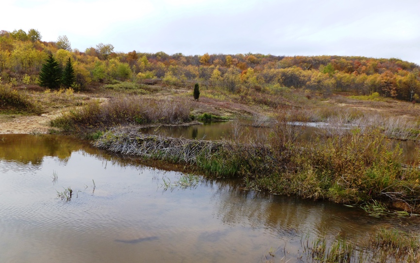
The 40-foot long dam held back about two feet of water and changed the landscape. If there were once stepping stones to get across the stream, they were now underwater. Some backpackers told us to walk across the dam, claiming that is what they did. At first I was hesitant, thinking that a dam that beavers built couldn't possibly hold our weight but both these backpackers were bigger than me. Walking across, I found the dam to be amazingly solid. It is hard to imagine a rodent could construct such a sound structure. See Norma standing on the dam just before it collapsed...just kidding...it held fast. 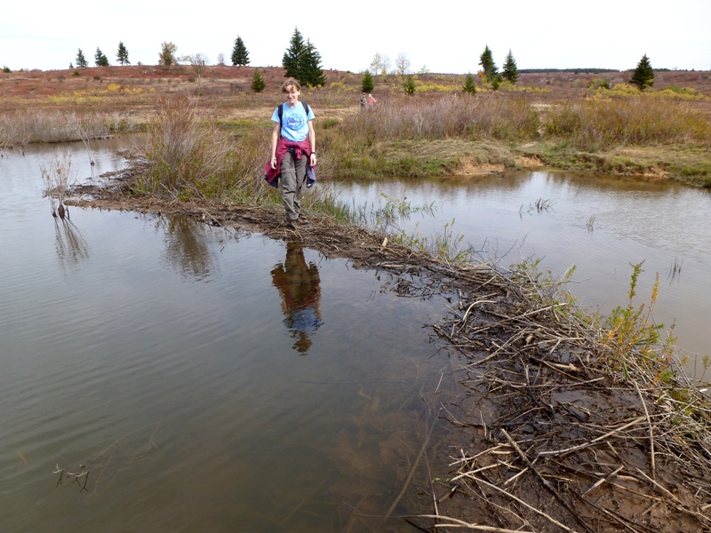
We finished our 11.5 mile hike by mid-afternoon...I'm guessing around 1530ish. After a quick stop near Bear Rocks, we were on our way home. 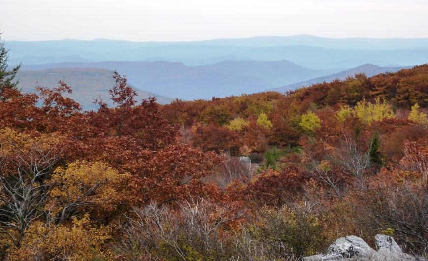
|
