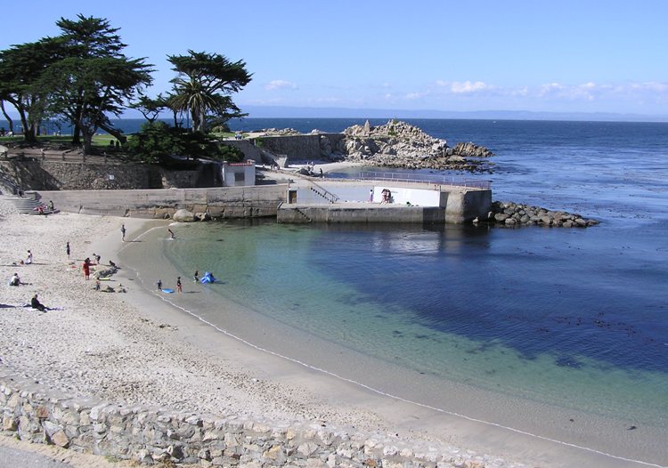
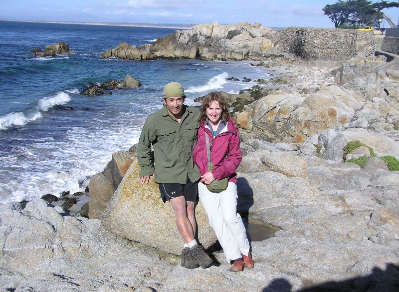
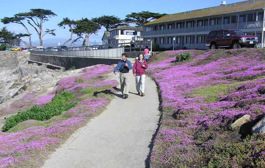
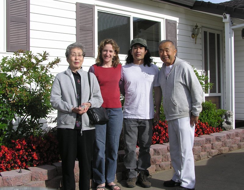
We awoke to sunny skies.
After a hearty breakfast at Denny's we headed back to Moss Landing.
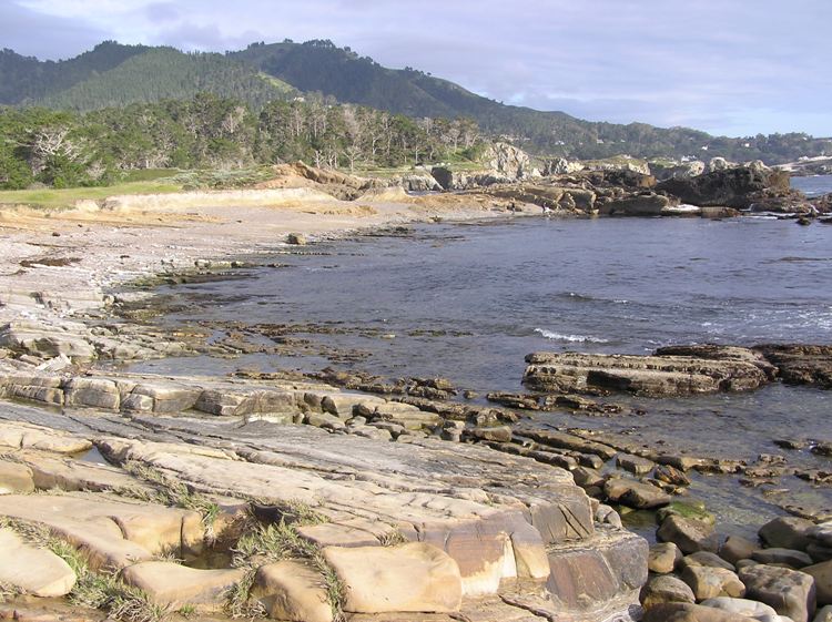
I had high expectations for the day.
We arrived back at Monterey Bay Kayaks at Moss Landing.
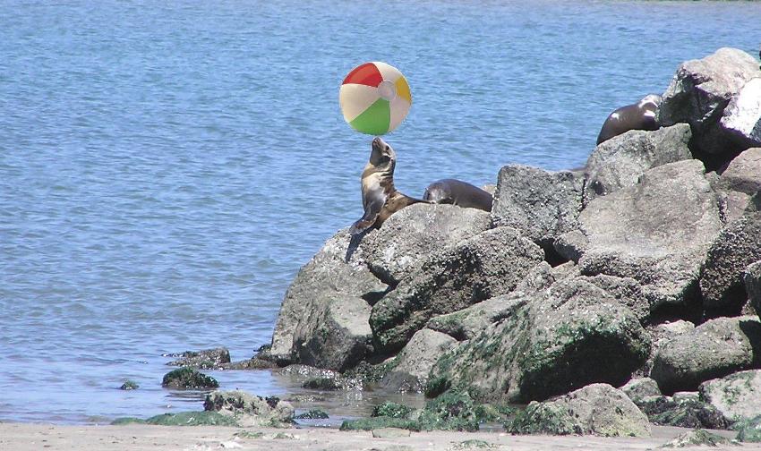
With the sun shining just right and the sea lions, seals, and brown pelicans all in close proximity, I couldn't resist but take a plethora of snapshots. While we were told to remain far from any marine wildlife, it was impossible when they were right next to the boat ramp. So many of them rested on the pier that it sat low in the water.
1 / 4

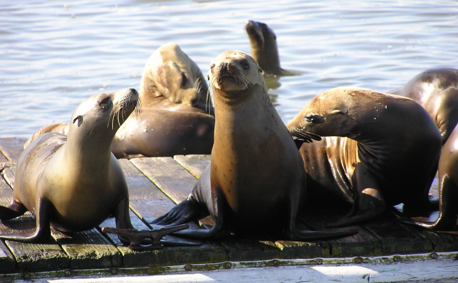
Sea lions on the dock.
2 / 4
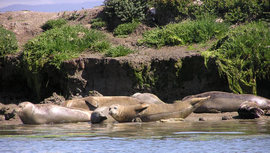
Seals on the beach.
3 / 4
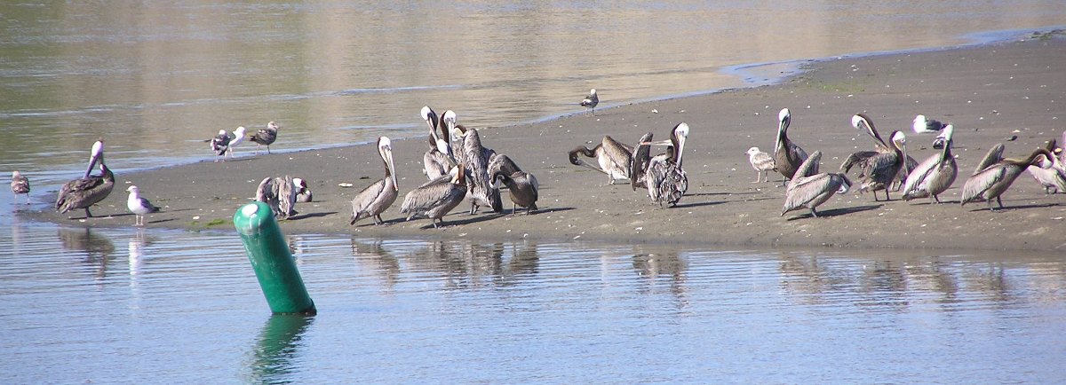
Brown pelicans.
4 / 4
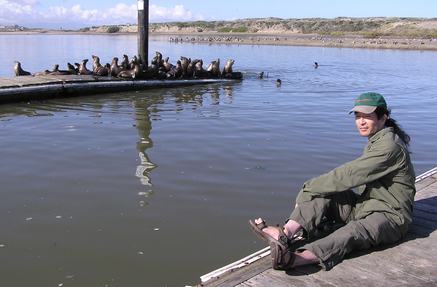
Me and sea lions.
❮
❯
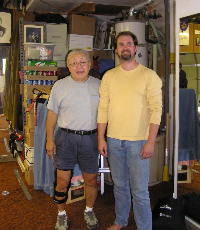
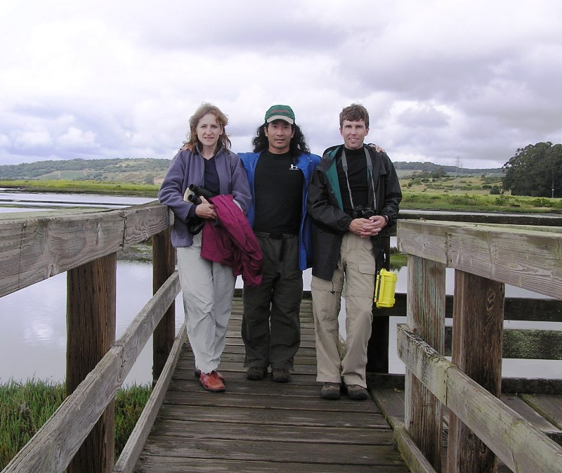
Ken unloaded and set up his boat while Norma and I checked in with the outfitter. They got us properly dressed with splash pants, splash jackets, and personal floatation devices. I believe they even had wetsuits if we wanted them. Next, they gave us a quick on-land lesson. I was hoping to opt out of this but it was required since they don't know our skill level. I turned out to be pretty impressed with their crash course instruction. They went over the basics of forward stroke, turning, and how to work as a team on the tandem kayaks. Then they showed us how to adjust the foot pedals, fasten the sprayskirt, and launch. Our instructor also went over the map and likely weather conditions. Lastly, we went over wet exit drills. After all this, we were on the water at about 1000.
We began paddling south to get out of Moss Landing Harbor.
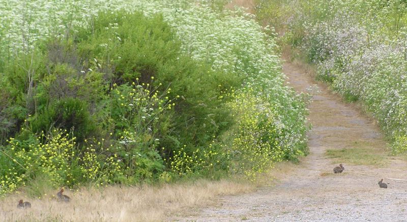
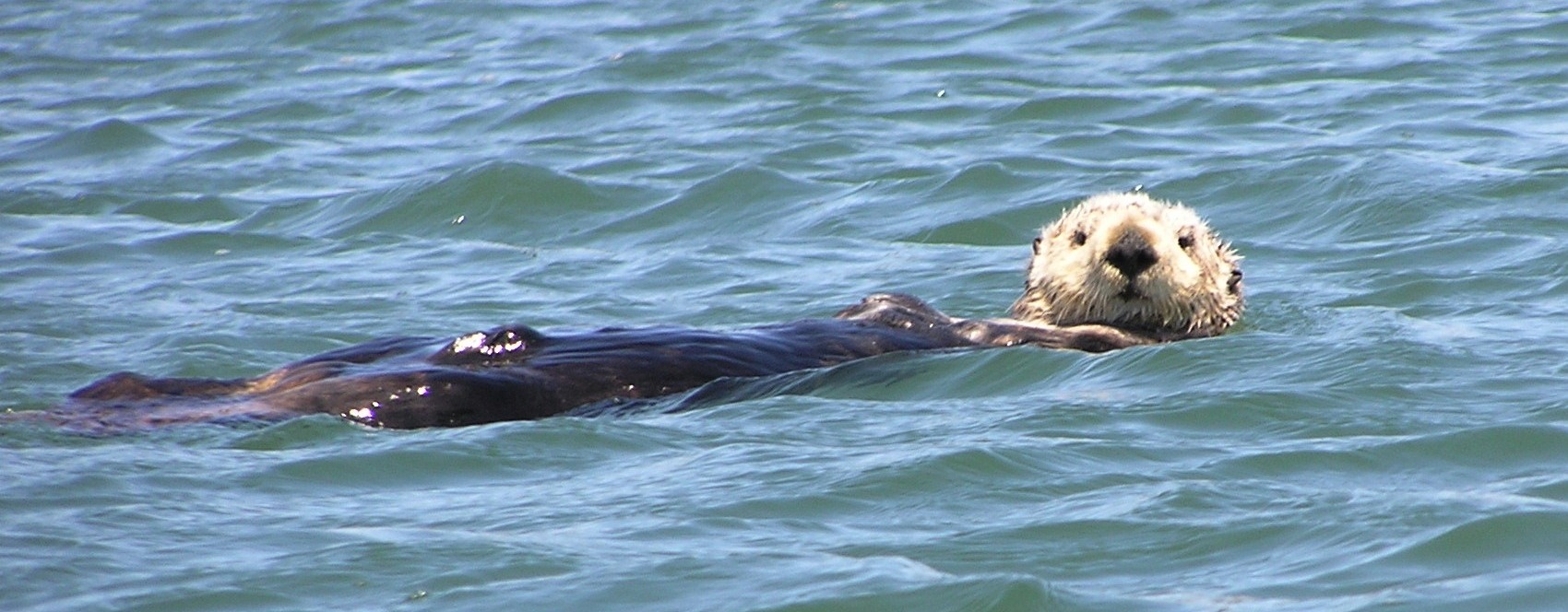
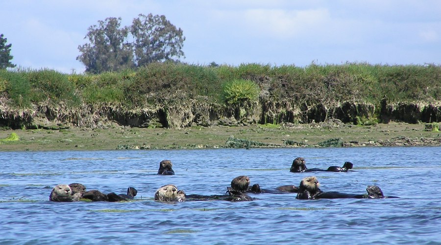
On our right, we saw numerous sea otters...probably about 25. Almost all were floating on their backs. We were told they were a group of males. The females and juveniles would be further east.
Sea otters are classified as 'threatened' by the Endangered Species Act and have been slowly recovering from near extinction since the 1930s. Otters only established in Elkhorn Slough as recently as 1995.
Otters must eat 25% of their body weight per day to survive - that is like an average person eating 160 burgers per day! Although, otters mainly feed on clams, mussels, worms and crabs!
Elkhorn Slough is home to up to 7% of the California sea otter population.
Otters group together to form 'rafts', which provide safer areas to socialize and rest. There is a large raft opposite Moss Landing Harbor launch ramps. Here you can see young males play fighting, honing skills used later in life to maintain territories.
Adult males defend territories hosting up to 16 females. Male territories can be viewed near Seal Bend in Elkhorn Slough. Here females give birth to and raise a single pup.
- from "The Otters of Elkhorn Slough" by Okeanis
As we began to exit Moss Landing Harbor and head east on Elkhorn Slough, we saw a multitude of sea lions resting on the rocks.
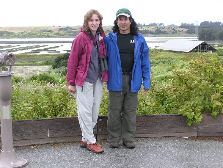
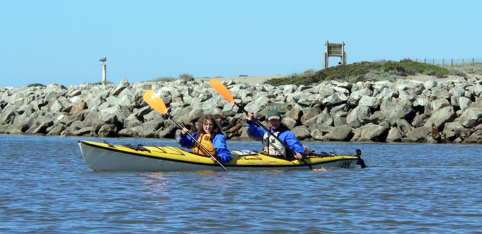
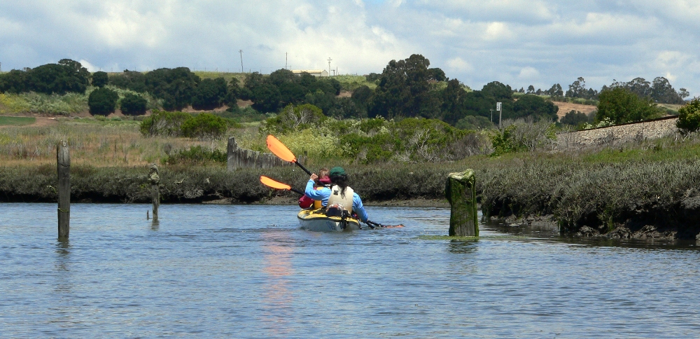
Norma and I were quite pleased with our kayak. Here we are admiring the sea lions in the distance.
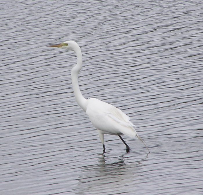
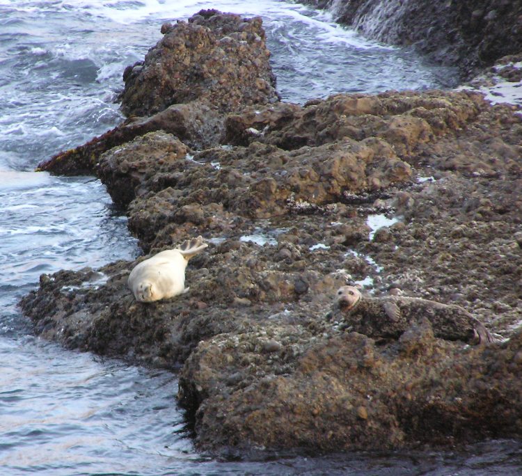
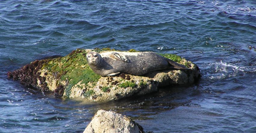
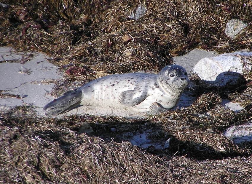
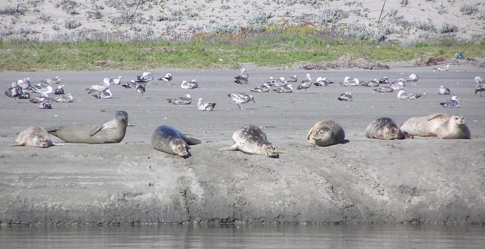
In the area that I believe is Seal Bend, maybe a half a mile east of Route 1 on the north side of Elkhorn Slough, we saw numerous seals. As we approached Moss Landing, I noticed that the brown pelicans seemed to like being around the seals but not the sea lions. In this same area, we saw several more sea otters. I assume these were the females with the juveniles, though I couldn't pick out the juveniles.
1 / 3
Young seal.
2 / 3
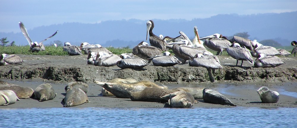
Seals and pelicans.
3 / 3
Sea otters.
❮
❯
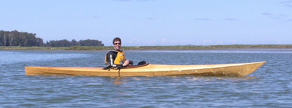
Ken handles his Pygmy quite well. I think he would make a fine
Chesapeake Bay paddler.
The tide was pushing us upstream. In the kevlar tandem
Amaruk sea kayak that Norma and I paddled, we moved along at about 5.8 mph.
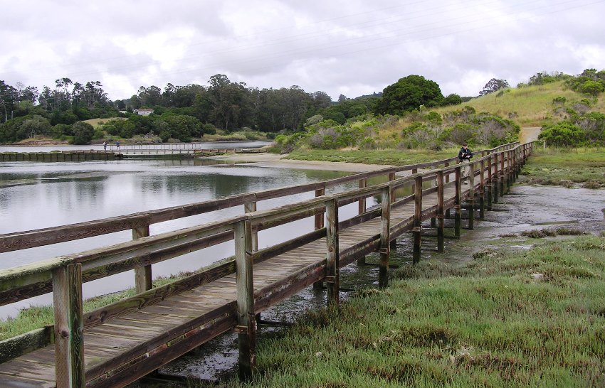
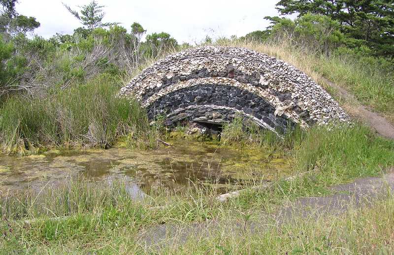
After about 3.5 miles, we came to Hummingbird Island, where we hiked the day before. But we couldn't land. In fact, we're not supposed to land anywhere on the slough except at the upstream take-out,
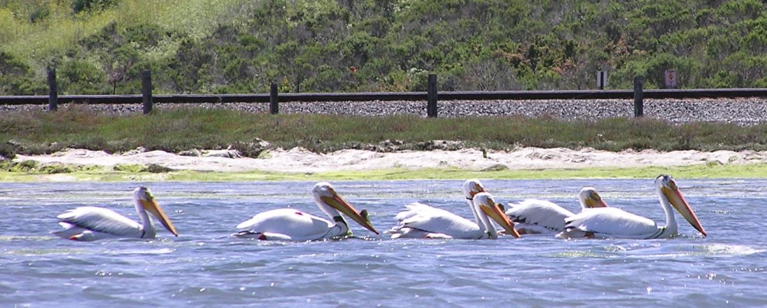
Kirby Park, mile 4.25. It wasn't long before we were there. We used the porta-john, then continued upstream another half mile or so. The further upstream we got, the less marine wildlife we saw. But we did see white pelicans.
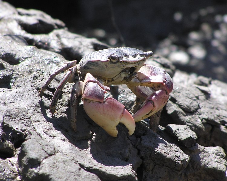
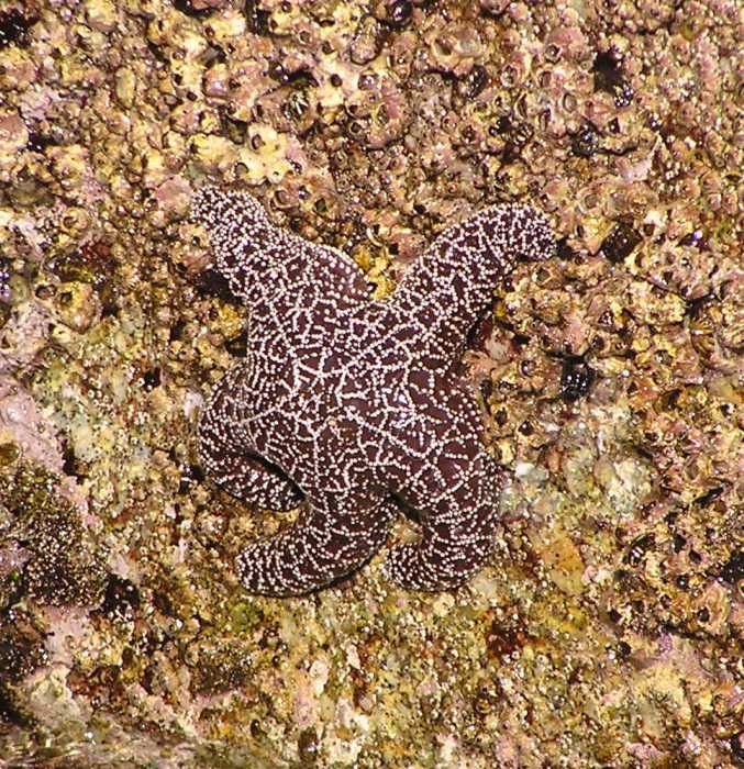
We explored some small tributaries that extended eastward towards the railroad tracks at about mile 4.75. These meandered for quite a ways and got very shallow. High tide was at about 1245 and I think we were fortunate enough to be exploring this section at around this time. We saw several dozen crabs that would scurry off into their holes once we got close. It is hard to say exactly how far these little offshoots of the slough extend. I just know I wouldn't want to be stuck on one of them as the tide lowered.
The three of us started heading back. The folks at the outfitter said that the winds pick up and blow pretty hard from the west. They weren't kidding. I'm guessing the winds were moving at probably 10-12 mph. One couple in a tandem just did a one way trip to Kirby Park. Then Monterey Bay Kayaks picked them up and drove them back. For an inexperienced or weaker paddler, I would recommend that.
We explored a creek on the northwest side of the slough. I think it was
Rubis Creek.
Rubis Creek branched off into several other twisty tributaries. It was difficult to tell which was the main one. According to the map we had, the creek should have looped back around to the slough but we never got that far. It seems every turn we made ended up at a shallow, muddy area. We gave up and returned the way we came. A curious sea otter watched us.
Back in Elkhorn Slough, the winds were even stronger and we were now paddling right into it. I'm guessing it was 16-18 mph. But Norma and I managed to keep moving at about 3.8 mph. We saw a couple of kayaks ahead that weren't making much progress. The first was a man and young girl on a plastic, sit-on-top tandem. I asked if they were alright and he said yes...but not very confidently. We then paddled to another plastic sit-on-top kayaker that was with them. I inquired if she was o.k. and I mentioned that the two people behind her weren't doing so well against the wind. I asked if they rented their boats from Monterey Bay Kayaks and she said yes. She said they were fine and that she had a cell phone and could call the outfitters if she needed. That made me feel a little better. They weren't in any danger. The three of them were properly dressed for the water temperature and they wore personal floatation devices (PFDs). I figured I'd let the outfitter know that some of their paddlers were having trouble as soon as we got back.
As we crossed under highway 1 then turned north on Moss Landing Harbor, we saw our old sea lion friends once more. A little further north we also saw the male otters.
We finished our 13.65 mile trip. I've seen seals while paddling but I've never seen as many marine mammals as today. In fact, I don't know if I've seen this many marine mammals in my whole life as I did today! It was without a doubt, one of my favorite kayak trips.
I told the outfitters about the three kayakers that weren't getting anywhere. They said the woman already called them and they would send someone out to go get them.
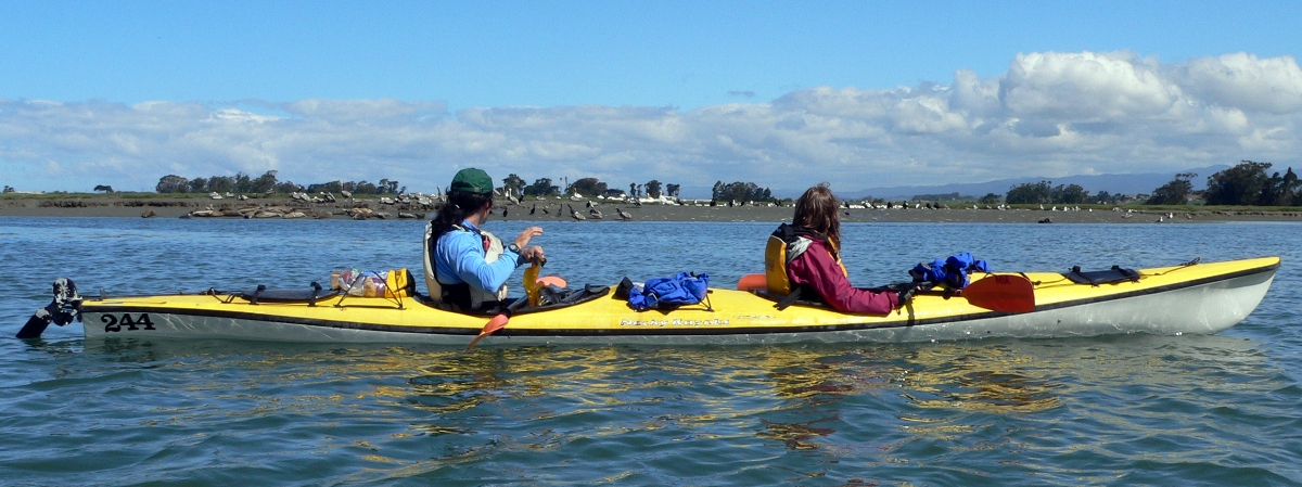
Special thanks to Ken for providing the photos of Norma and me in the tandem kayak.