|
This page describes my bicycling adventures in 2021. |

|
This page describes my bicycling adventures in 2021. |
|
I bought Norma a new bicycle to replace her Gary Fisher Zebrano Silver Series which was she had for well over 10 years. Her new bike is a Trek Verve 2. I purchased it at Race Pace in Columbia, Maryland. With the Coronavirus pandemic, it is hard to find outdoor recreational equipment but Race Pace seems to be better stocked than most places.
Her bicycle is very similar to mine but hers is a medium while mine is a small. Even though we are about the same height, her limbs are longer so she could have gone with a medium or a small. The medium works better for her because she can put the seat low and have the handlebars high, which is much gentler on her wrists. It isn't as efficient for riding but comfort comes first. There are other features of her bike that are better than mine because hers is newer. 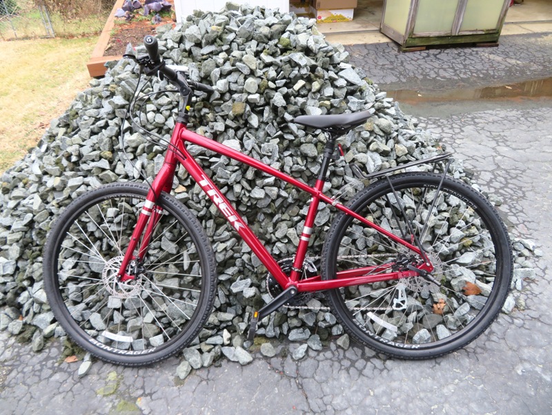
Norma's niece now has her old bike.  |
|
On February 27, 2021, Norma, Hazel, Daphne, and I drove through the Patuxent Research Refuge - North Tract. On March 13, 2021, Norma, Daphne, and I returned, to do some exploring via bicycle.
This was the maiden voyage for Norma's new bike. She has a Trek Verve 2...the same as mine but newer and much prettier. We started from Merganser Pond and then rode south on Wildlife Loop, stopping at anyplace we thought looked interesting, like this wetlands area. 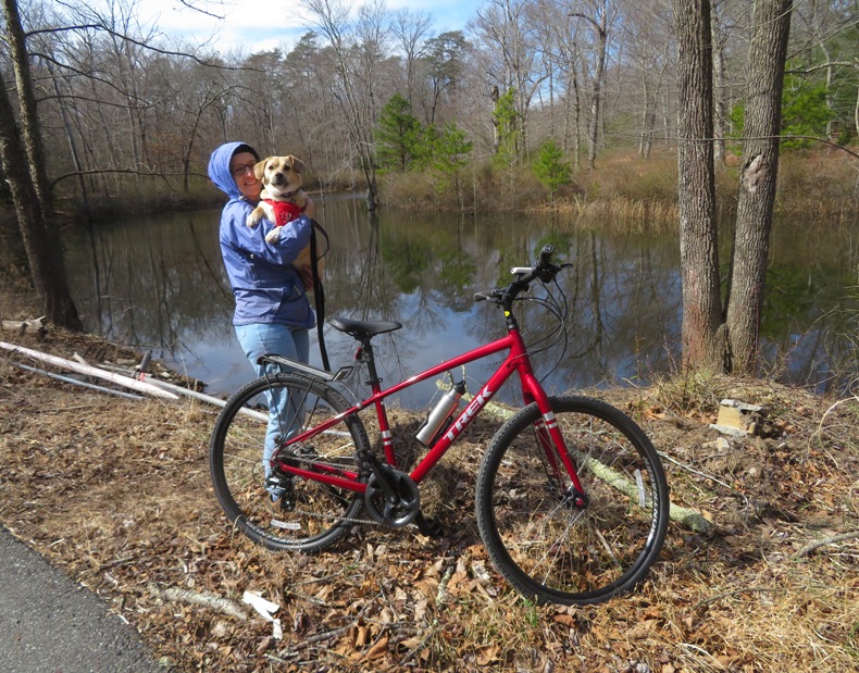
Here's Daphne and I at New Marsh, looking for signs of spring. 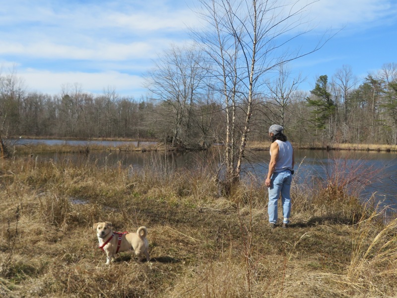
We were searching for amphibians. A few frogs hopped into the water as we approached. We heard lots of spring peepers, some wood frogs, and something else we couldn't identify but we would describe as having a buzzing sound. Not sure what appears below but we saw about seven of them. Could they be amphibian egg sacks? 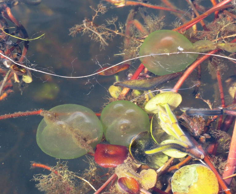
At Cattail Pond, Daphne picked up the scent of a beaver. I made sure none were around. If she got into a fight with one, I'd bet the farm on the beaver. 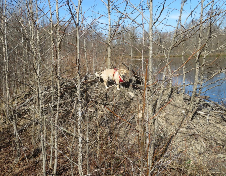
1 / 5

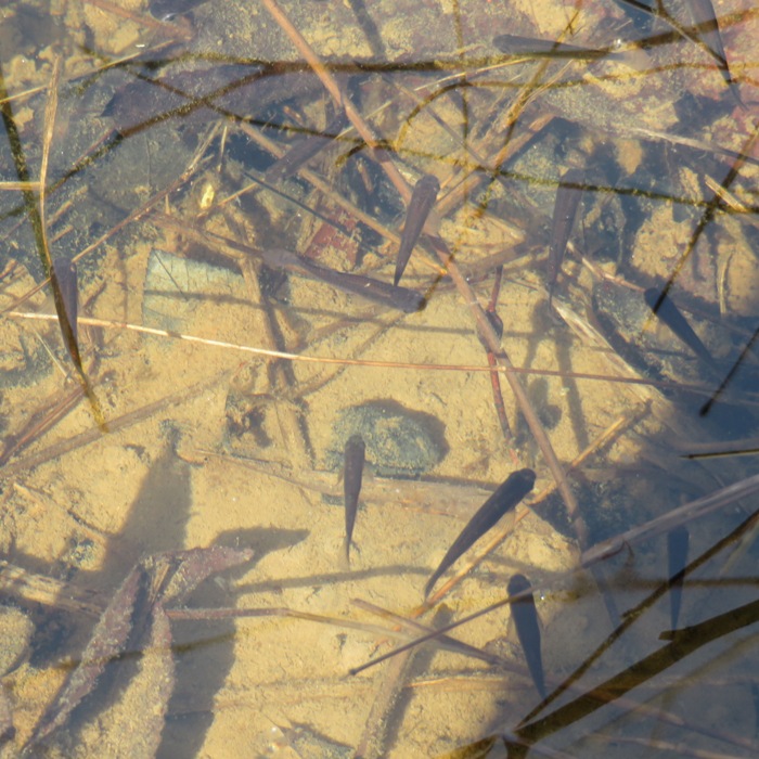
Clean water with small fish.
2 / 5
Pulling Daphne in her carrier.
3 / 5
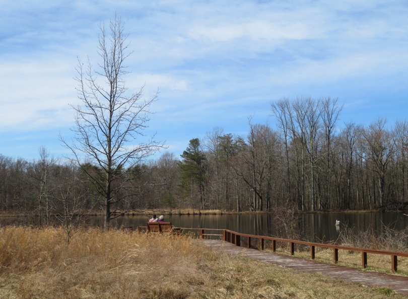
Couple at New Marsh.
4 / 5
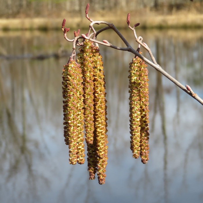
Alder catkins in bloom.
5 / 5
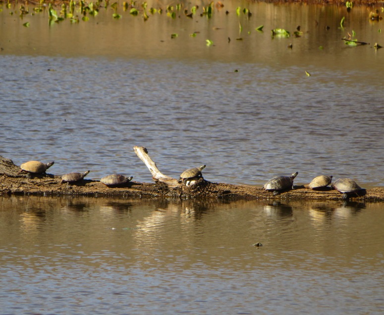
Turtles at Bailey Marsh.
Here is our route. Back around 1997, I lived in a small apartment in Piney Orchard. That was back before Fort Meade was closed to the public. I used to drive on Wildlife Loop to get into the Fort once in awhile. I think I got there via 5th Avenue, which goes under the train tracks. But now Wildlife Loop is closed at Midway Branch. 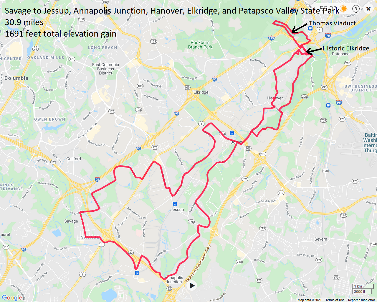
|
|
Norma, Daphne, and I did a little exploring on the eastern shore of Maryland. We shopped at the Easton Farmers Market, visited the Herb 'n Craft Farm, went to Wye Oak State Park where we saw a functioning grist mill, biked in the Queen Anne area, and then had an early dinner in Grasonville.
This is the Easton Farmers Market which was pretty nice. Here, we bought Casa Carmen wine grown from a vineyard in Chestertown. But if you want dog treats, the Chestertown Farmers Market is still the best. 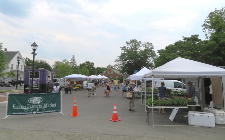
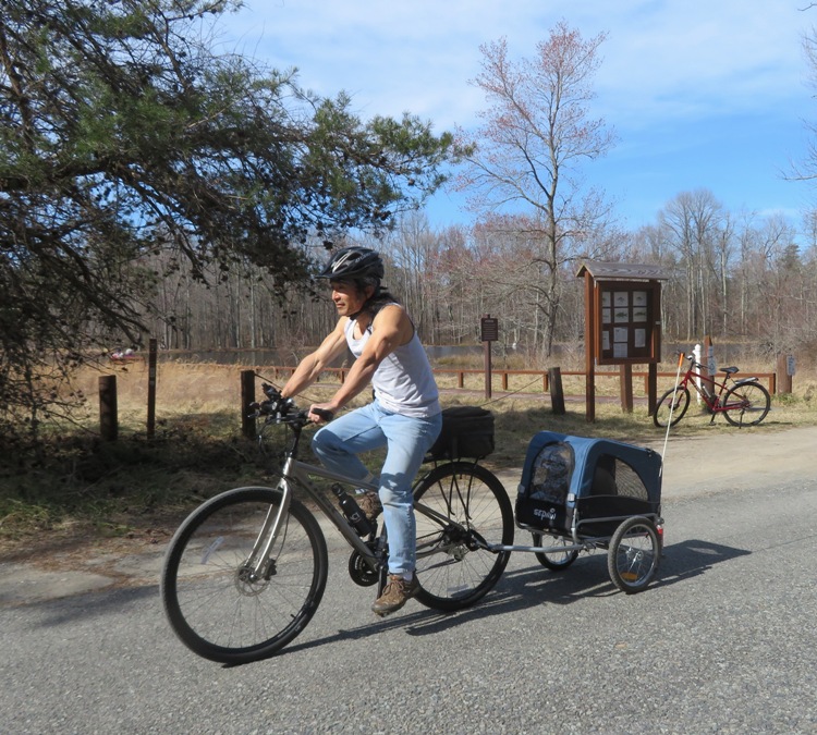
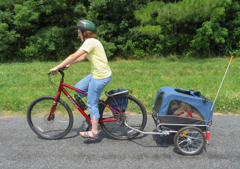
Norma is ready to pull Daphne in her dog trailer. 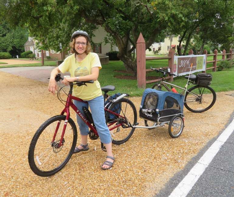
Daphne doesn't really enjoy bicycling. She would much rather be hiking or paddleboarding. 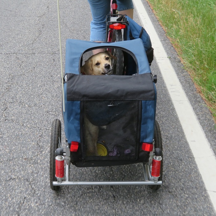
It was a very short ride. I towed Daphne in the latter part. After biking, we drove to Grasonville and ate at The Jetty. It is a little too big and trendy for my comfort level but what made the place great is that they have a doggie menu where, for $5, you can order a small plate of grilled chicken breast or shaved prime rib. Daphne got the latter. We stopped at the farm stand on Guilford Road in Jessup but that wasn't on the eastern shore. I wasn't too impressed with their produce. |

|
Norma and I biked 21 miles in Hanover, Elkridge, and Patapsco Valley State Park. Along the way, we found some cool ruins in Elkridge.
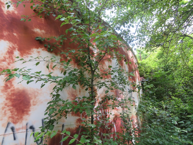
Norma was curious about Church Avenue and suggested we investigate it. I am glad we did. We found the Church Avenue Sewage Pump Station at 5961 Church Avenue, Elkridge, Maryland 21075. 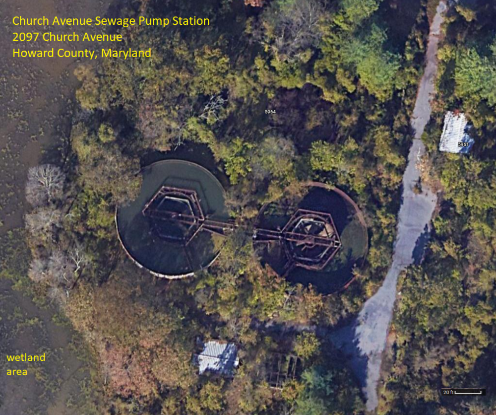
There were no signs telling us to keep out of the Church Avenue Sewage Pump Station area so we explored. Here, we found some abandoned buildings housing centrifugal pumps. 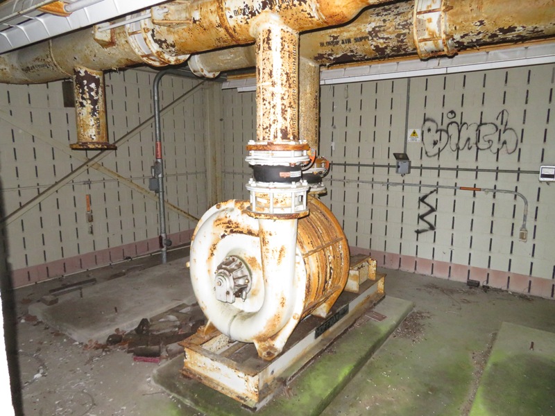
Here's another pump or generator. Obviously, the place is no longer in use. I'm guessing the sewage was properly contained. I could not smell anything and there was a wetland area right next to it. 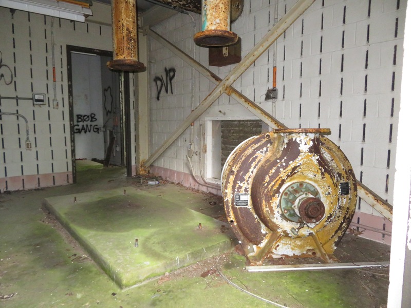
The place was thoroughly trashed. 1 / 3
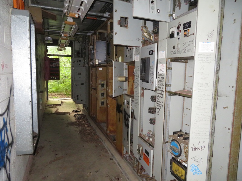
Electronic equipment.
2 / 3
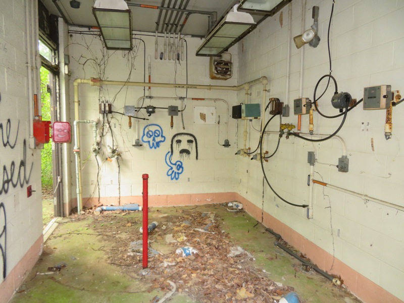
We saw a lot of graffiti.
3 / 3
Thing in satellite photo; held sewage?
There was a smaller square object in the lower part of the satellite photo on the right. I climbed up on it. This is what I saw. Between the metal walls was a lot of water with duckweed. I was told it is a settling tank. 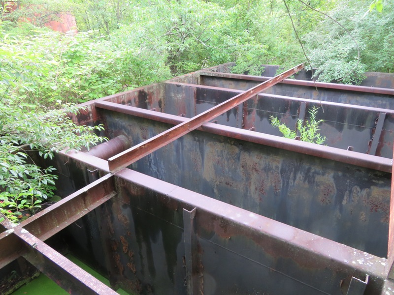
After leaving the sewage pump area, we biked past Elk Ridge Landing. An important Colonial Port for shipment of tobacco. Here in 1765, Zachariah Hood, Maryland's "Stamp Act" agent, was hanged in effigy. Lafayette's troops camped April 17-19, 1781 on the way to engage Cornwallis in Virginia. George Washington passed many times. - from historic sign Near the Rathskeller on Main Street in historic Elkridge, we saw an old staircase that led below the train tracks at 39.215278, -76.710444. It was closed off but we could look through the steel bars. 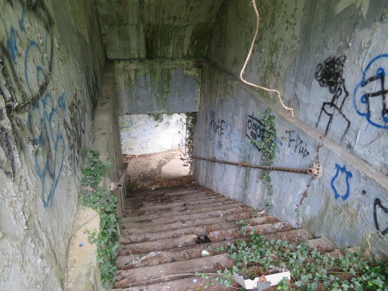
This is what I was looking through to get the previous photo. 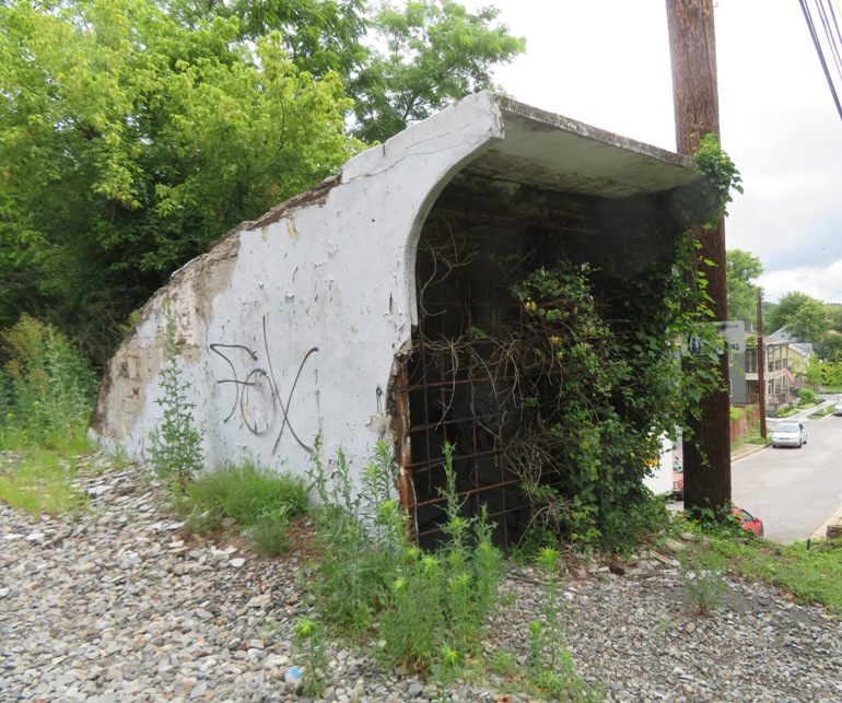
At the lower level, we could look through more steel bars to see the tunnel that led below the train tracks. If you look really hard, you can see stairs that go up the other side. 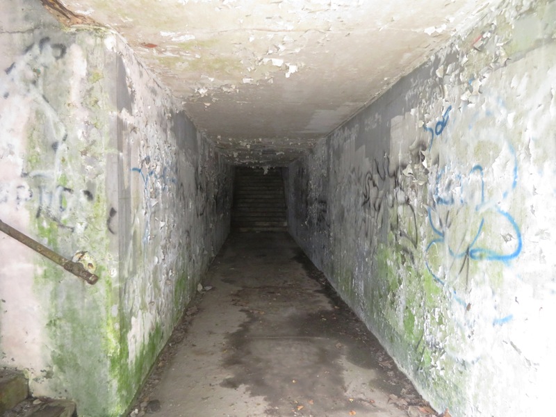
Here's our biking route. 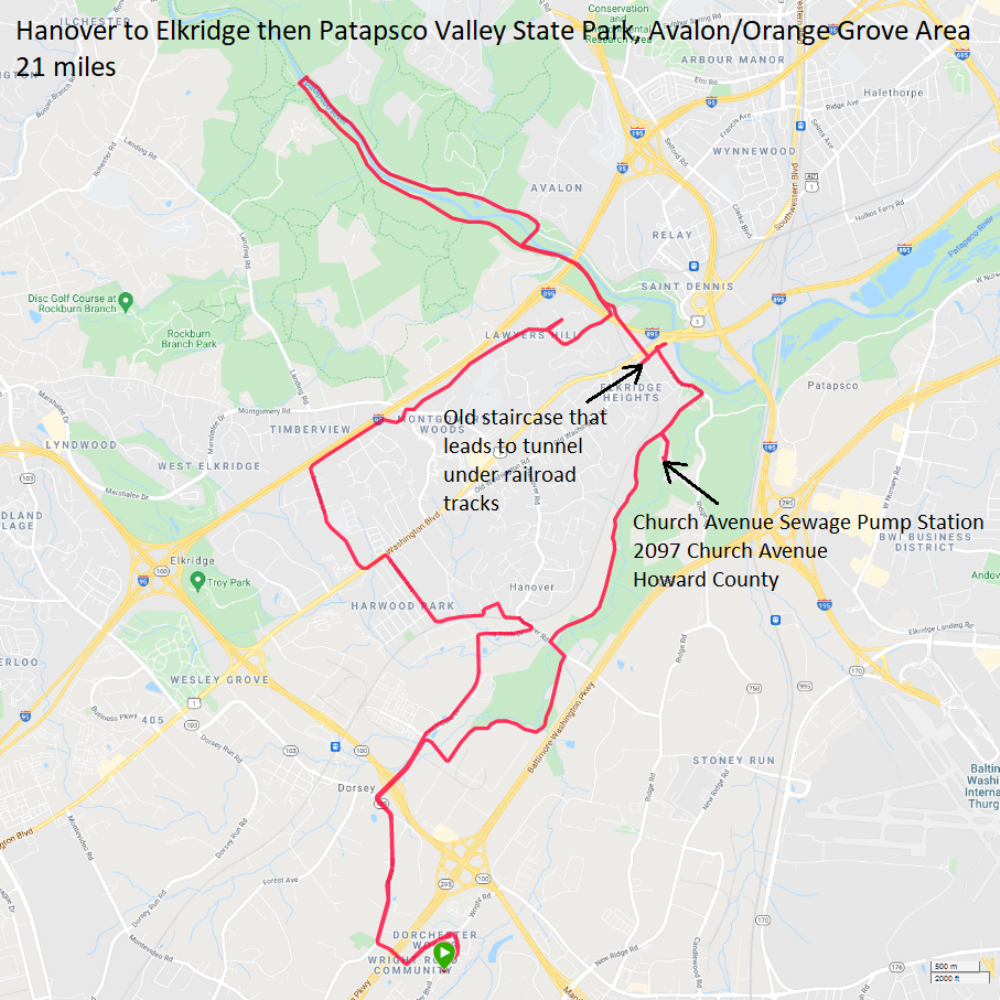
|
|
I went bicycling from my house to Brown's Bridge at Rocky Gorge Reservoir. On the way back, I explored Fulton. I tend to think of that area as mainly just having a lot of upscale homes and restaurants but that day, I learned there is more.
On Old Columbia Pike, I saw several dozen bee nuclear hives (nucs) in someone's backyard. 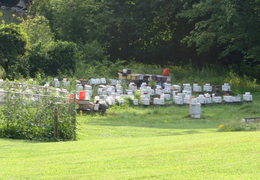
I found a nicely paved walking trail near Maple Lawn Boulevard that has a lovely pond full of beautiful flowers. The pond is located at 39.149222, -76.902995. 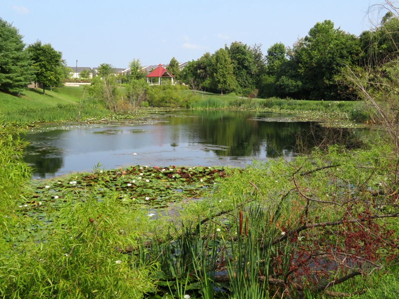
There were lots of water lilies in the pond. 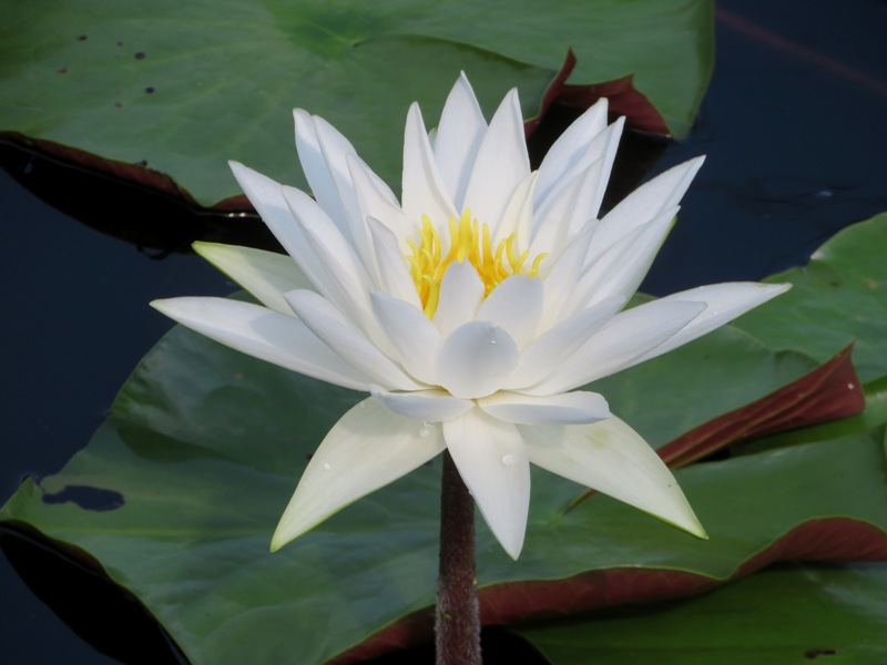
Several swamp hibiscus flowers lined the edge of the pond. 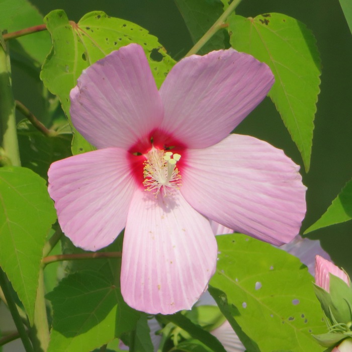
|
|
I did a little bicycling from Savage to Patapsco Valley State Park. Then I went to the Ellicott City Library to do a little Howard County research for my one mile historic walk. I found a book that with some interesting information about the route that I biked:
During the eighteen hundreds, Howard County was strictly a rural farming area with an abundance of natural resources. To tap these resources, the Baltimore and Ohio [B&O] Railroad had to first cross the Patapsco River. In 1833, construction began on the large stone Thomas Viaduct, named for the first president of the B&O Railroad. The bridge stretches 612 feet with eight elliptical arches, each 60 feet wide and 65 feet above the level of the river, which support the structure. The cost was approximately $150,000. When construction began, critics of the railroad called the bridge ridicuous and an impossible task which wouldn't last. But the viaduct, which took two years to complete, still stands today, a structure that has outlasted even its staunchest critics. The Thomas Viaduct, located in old Elkridge, just west of Washington-Baltimore Boulevard, on Levering Avenue, is today the oldest multiple arched stone bridge in the world, which is still used by the railroad. - from "Pages from the Past" by Richard Holmes Here's a view of the Thomas Viaduct I saw while bicycling. 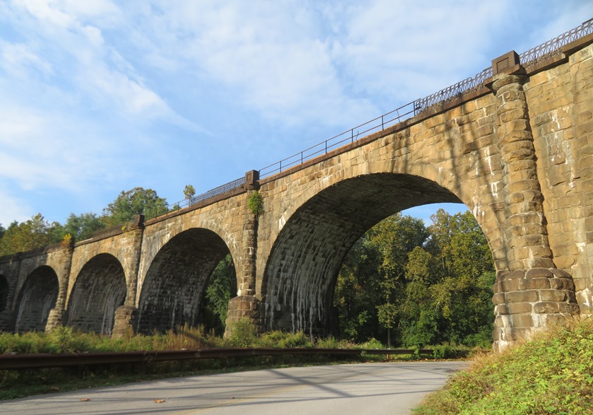
This is my bike route. I don't recommend biking on route 1 (Washington Boulevard) unless traffic is very light. Fortunately it was on that Saturday morning.
|