On the morning of October 3, 2009, I checked the water levels on the
Conestoga River at
USGS 01576754 Conestoga River at Conestoga, Pennsylvania and
USGS 01576500 Conestoga River at Lancaster, Pennsylvania. According to Gertler, the Conestoga River
...at Lancaster should read at least 250 cfs (3.5 feet) for shallowest riffles.
Despite the rain during the night, the river level was insufficient for paddling with just 3.33 feet by 0630. Hence, I decided that today we would once again paddle in the
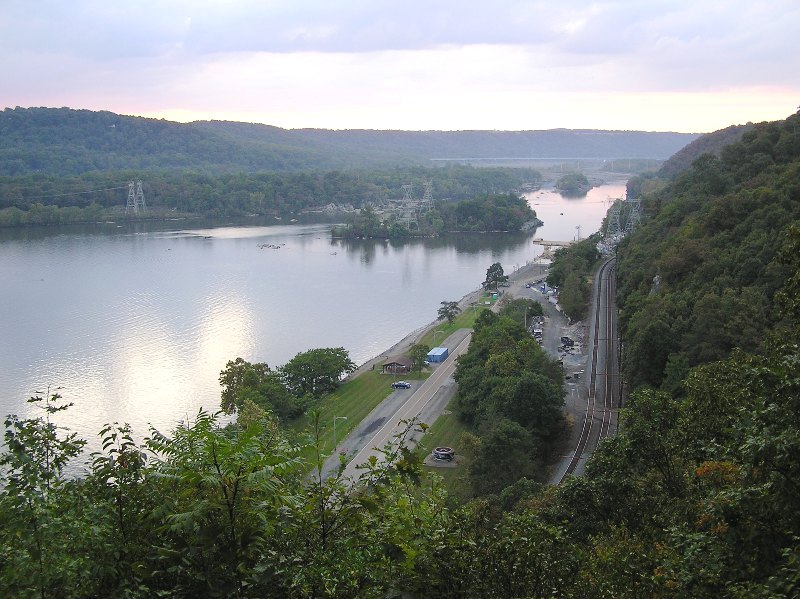
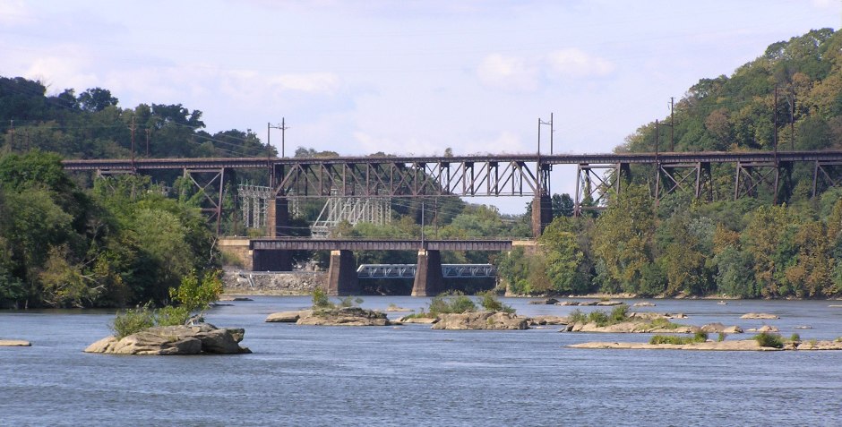
Conowingo Reservoir, a body of water on the Susquehanna River formed by the Holtwood Dam to the north and the
Conowingo Dam to the south.
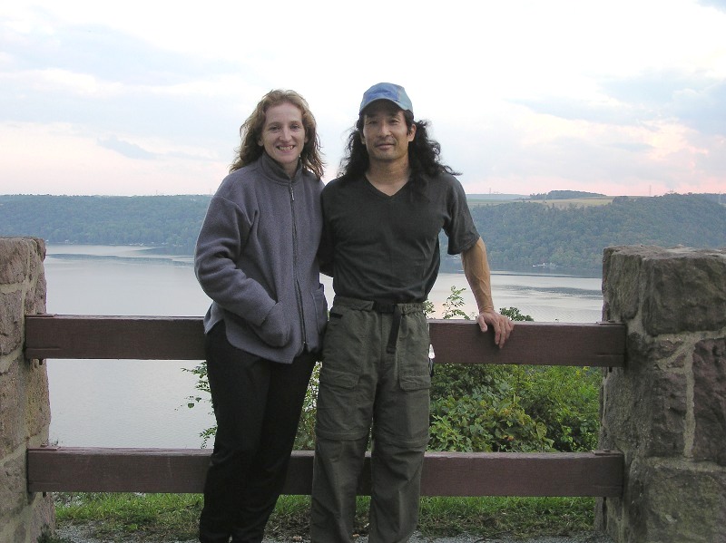
At 1100, Norma and I launched my
Ocean Kayak Cabo at
Muddy Creek. Last year, we explored
Muddy Creek and much of the northeast side of the reservoir. This year, we focused more on the northwest side.
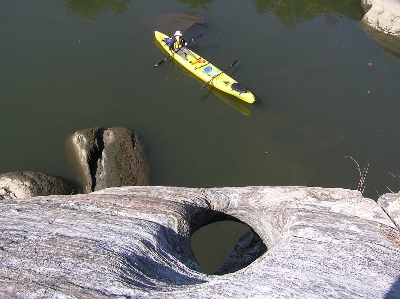
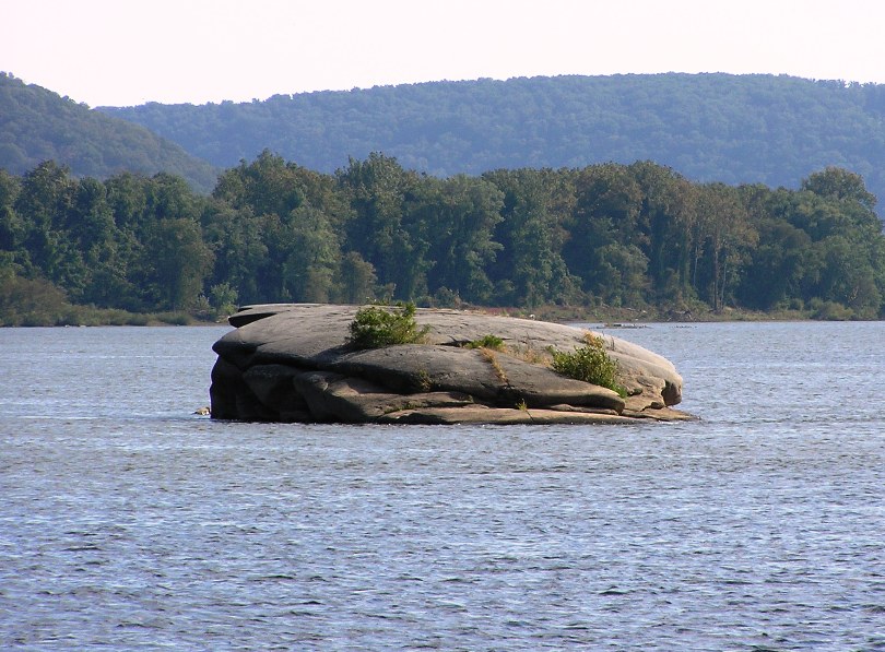
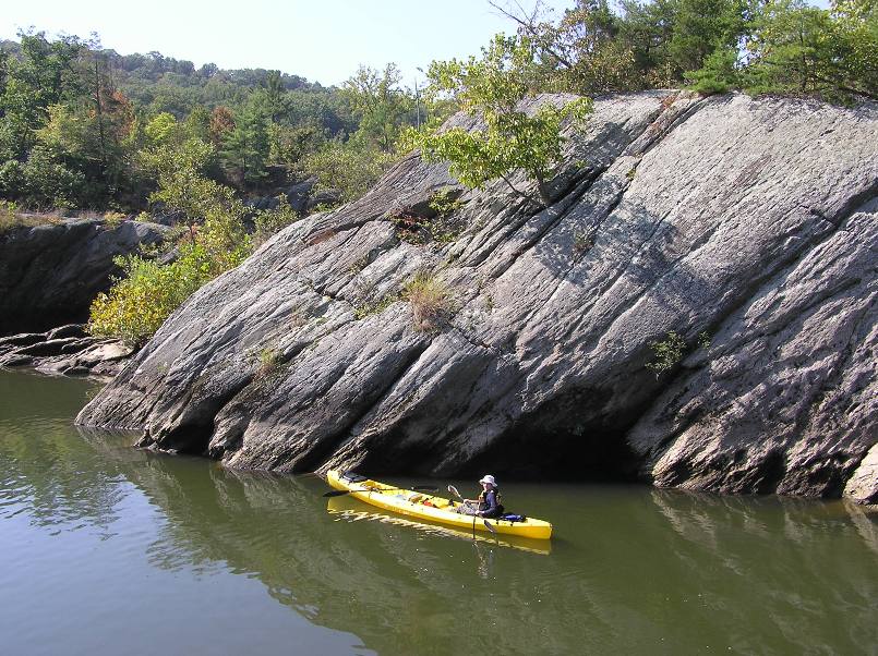
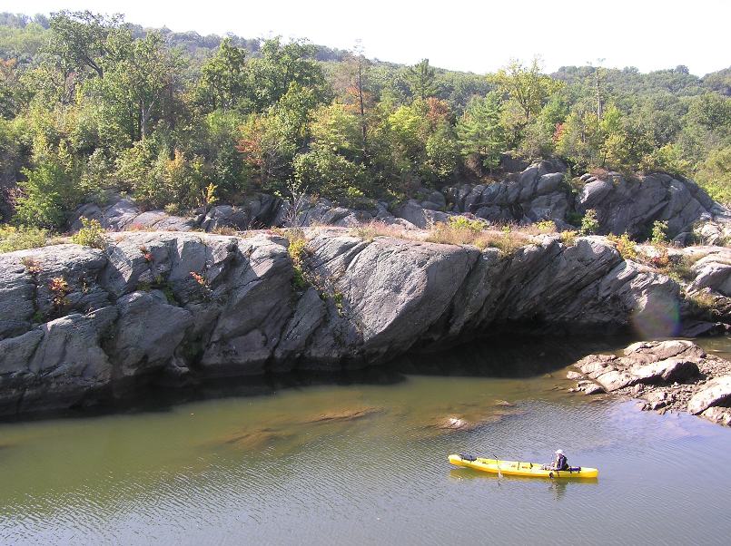
We paddled as far north as we could without portaging. Along the way, we encountered numerous rocks that abruptly jutted out of the water.
1 / 3

Tandem solo.
2 / 3
Big rocks.
3 / 3
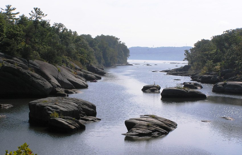
Looking downstream.
❮
❯
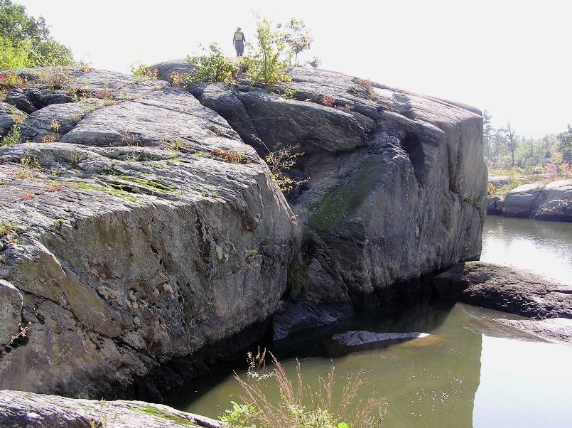
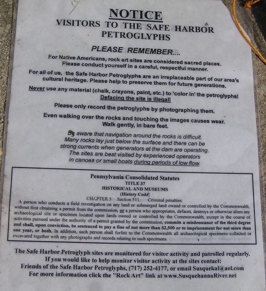
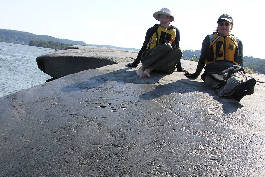
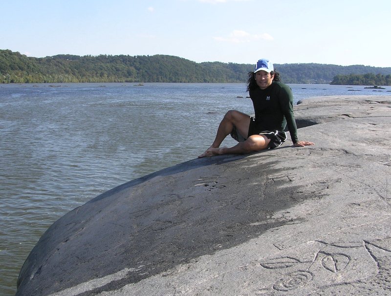
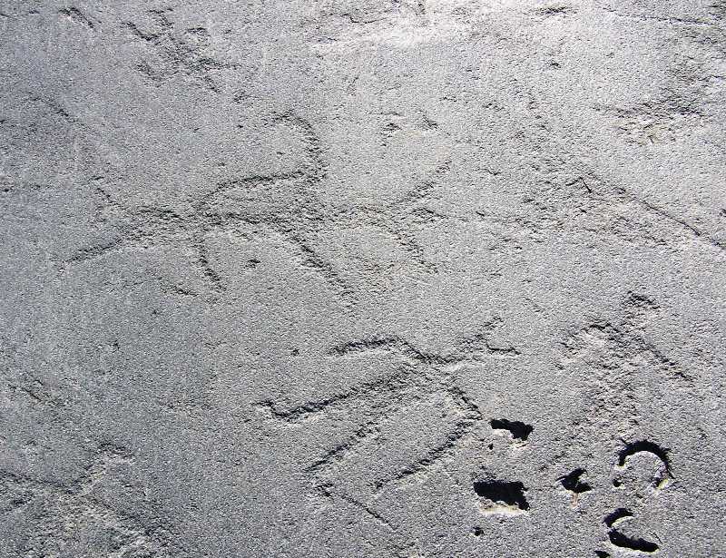
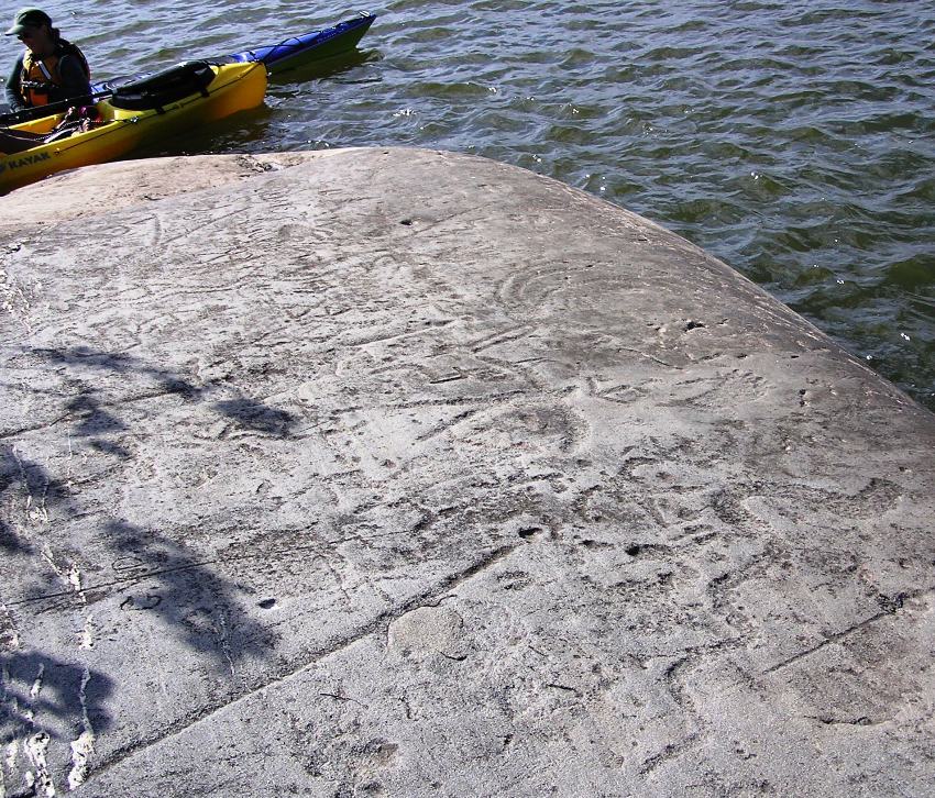
We pulled ashore and did some rock scrambling.
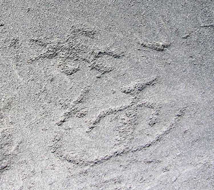
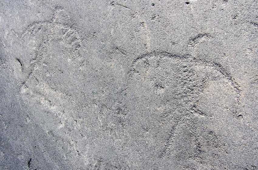
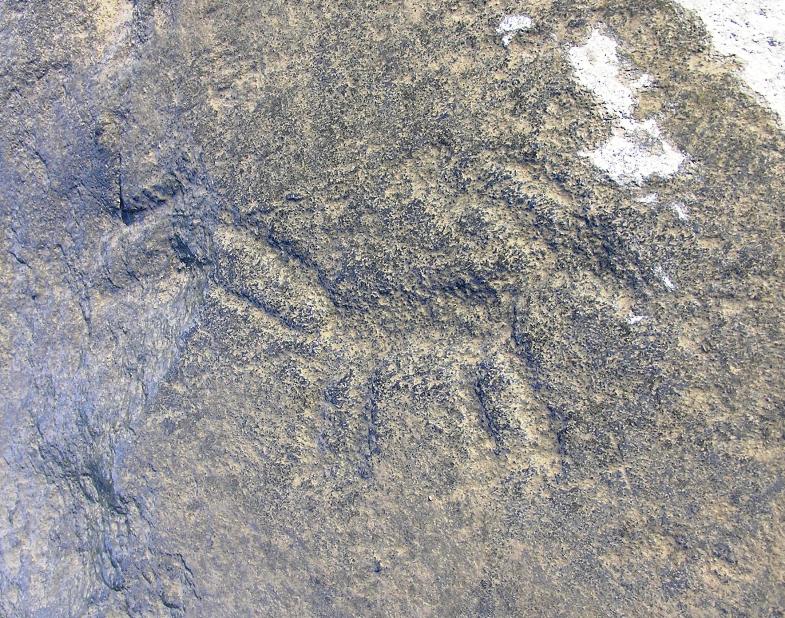
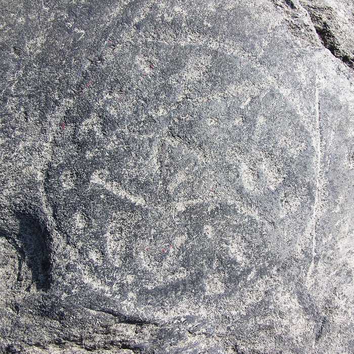
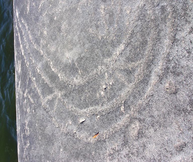
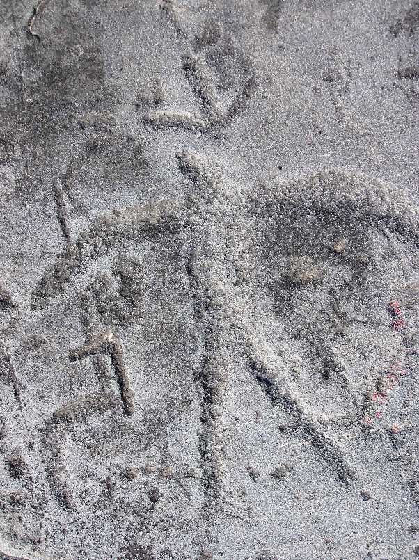
Several sections looked like the giant stones were worn down by something cylindrical. Many had depressions as if someone had used them to crush grains with another rock. I found a few places where a hole was worn completely through the rock.
These rocks are part of the
Conowingo Islands, a
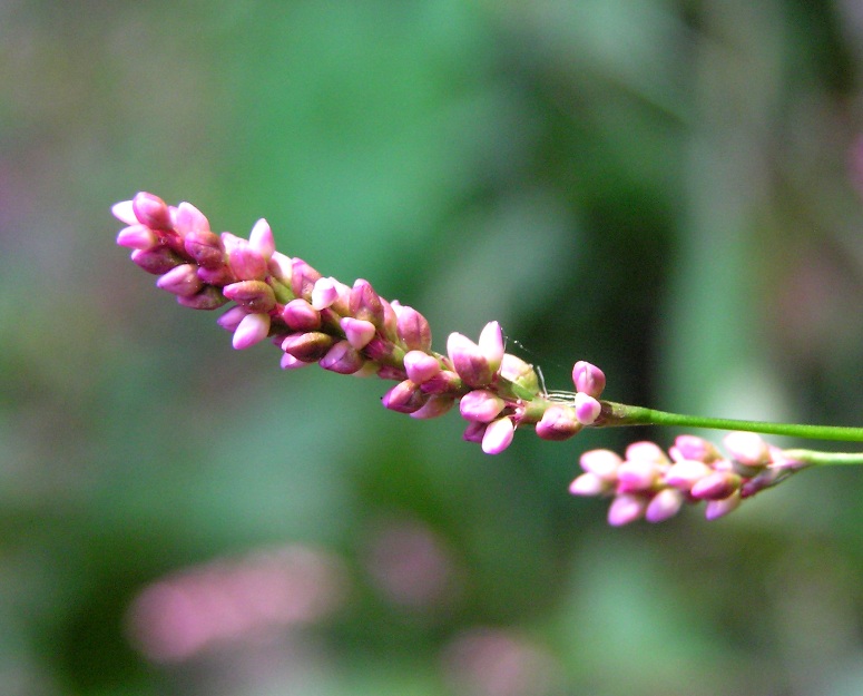
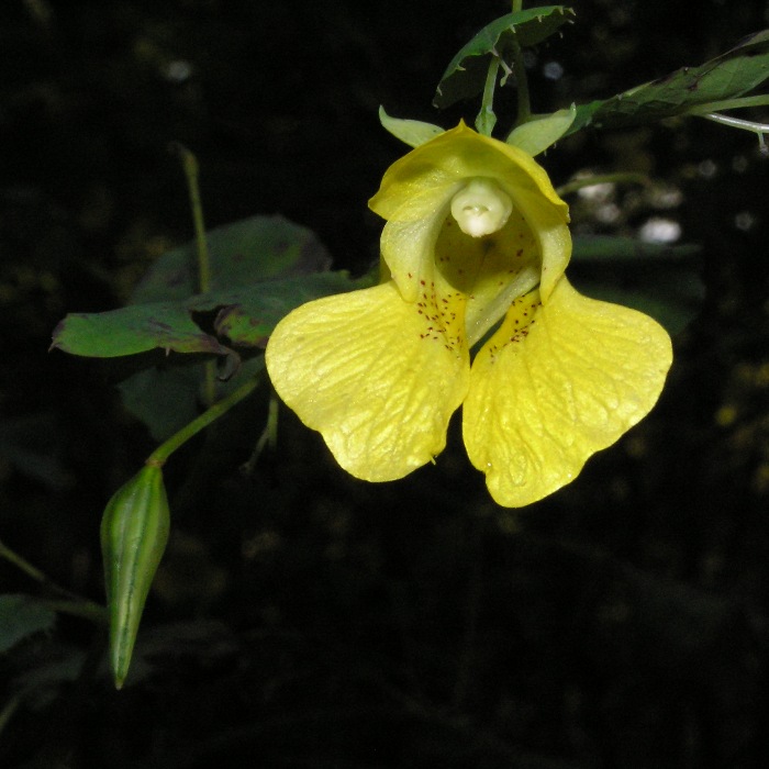
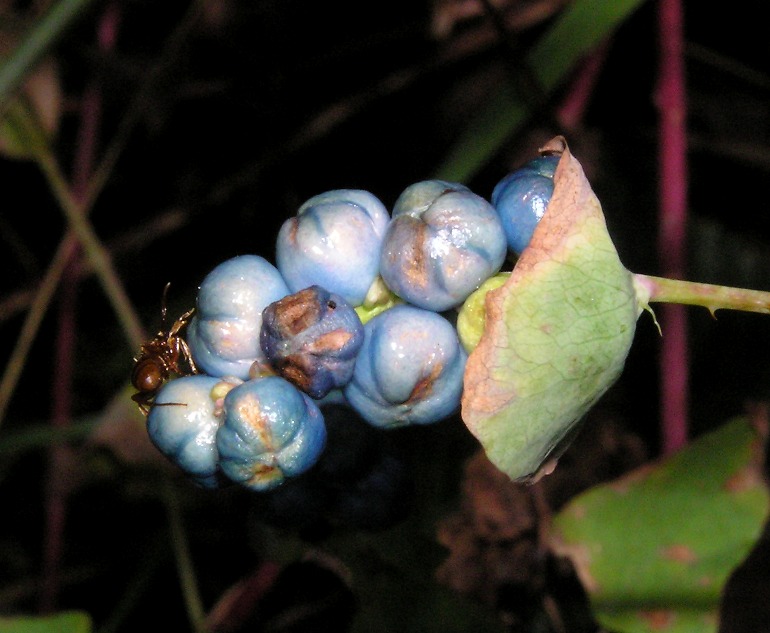
Bedrock island cluster containing old growth trees, potholes, and rare plant species.
- from "Susquehanna River Water Trail - Lower Section (Pennsylvania)"
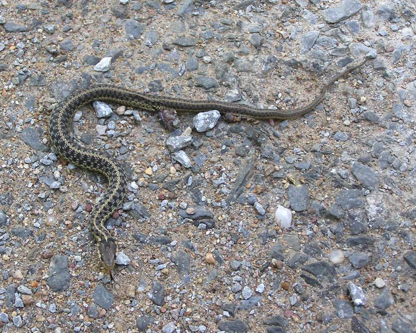
I saw a snake about two inches wide. I never saw its head so I couldn't tell how long it was.
We saw several other kayakers and a few people with canoes that were set out to do some camping on one of the islands.
A sit-on-top plastic boat is the ideal thing to explore this area because there are so many sections where rocks just below the surface of the water will scratch a more fragile boat and because it is so easy to hop in and out or get unstuck.
The water was cold but the air was comfortable with high temperatures in the mid-70s. The sun shone brightly and visibility was fairly good.
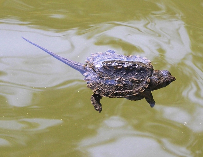
Norma and I found a baby snapping turtle in the water. The shell was only two inches long. At first, we thought it was dead. We picked it up and after awhile, it began moving. The water seemed a little too cold for such a small reptile so we let it warm up on the boat then set it free on land.
While Holtwood Dam is the northernmost boundary of this reservoir, we never even got close to it because the water was too low. Heck, we never even got to
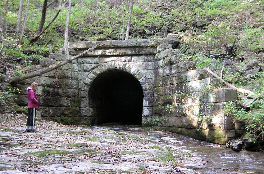
Norman Wood Bridge, where route 372 crosses over. If we had, we would have landed at and explored
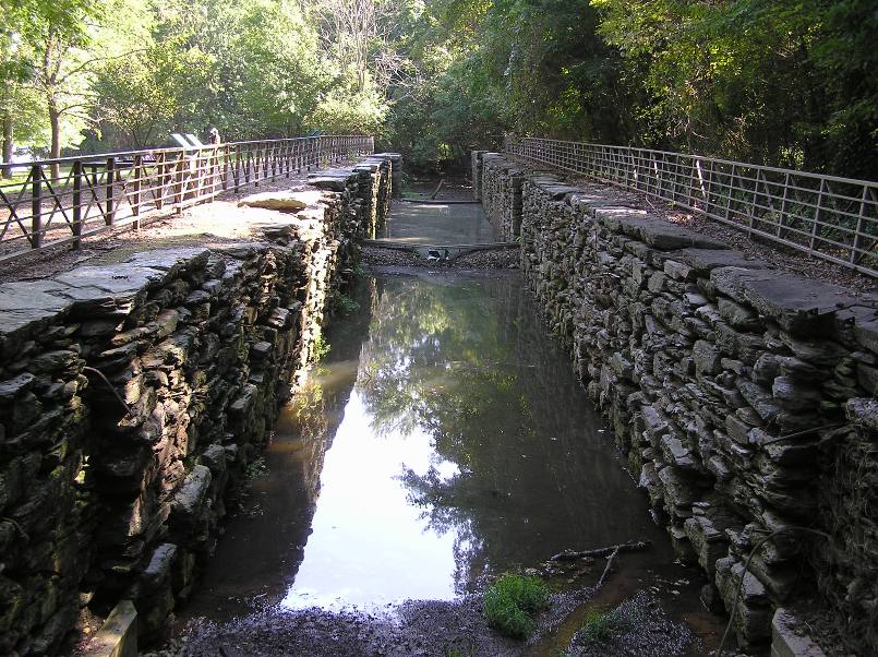
Lock 12,
...one of the most well-preserved locks of the old Susquehanna and Tidewater Canal, built between 1836 and 1839 for commerce between the greater Harrisburg area and the Chesapeake Bay. Lock 12 is located in York County along Route 372 near the Norman Wood Bridge. Nearby, several hundred feet up Anderson's Run, is a restored double lime kiln and the remains of a sawmill and its dam, pond and millrace.
- from
Lock 12 Historic Area
If we had more time, we would have certainly driven to Lock 12, which is just off McCalls Ferry Road, just northwest of the bridge. Maybe next time.
We did, however, make it to the
Lock 15 Interpretive Park, which resides on the west side of the Susquehanna River, just north of our launch.
We ate lunch at one of the picnic tables overlooking the river in the park.
While many of us in Maryland are familiar with the
Chesapeake and Ohio (C&O) Canal Towpath locks, relatively few of us know about those that connect Pennsylvania and Maryland.
The Susquehanna and Tidewater Canals were constructed by excavating or filling in land to create a progression of level ditches tied together by locks in a stairway of elevator fashion. The 231 feet decline in the natural elevation of the land from Wrightsville, Pennsylvania to Havre de Grace, Maryland required a total of 29 locks, 19 in Pennsylvania and 10 in Maryland.
The lock system is quite an impressive engineering feat, to say the least.
When needed, beds and banks were lined with a heavy layer of clay to prevent water from seeping out of the canals. Heavy timbers, stone blocks and wood planking were used to construct essential parts of locks and aqueducts. Each year, the canal was drained of water, usually before a deep freeze. After repairs, water would be readmitted into the canal, generally in March.
- from sign at Indian Steps Museum
South of our launch site, we kayaked between
Big Chestnut Island and
Hennery Island. A few fishermen were spotted along the way.
Our next stop was
Mount Johnson Island, the world's first bald eagle sanctuary. Unlike the northern part of the reservoir which is full of islands, 2.4 miles of open water separates Mount Johnson Island from any of its northern sisters. The distance seemed longer than what it was because a seven mph headwind slowed us down and made things a little choppy.
On the south side of the island, we pulled ashore and walked up a road. The road was wide enough for a vehicle though I can't imagine any vehicle climbing its steep incline...it was certainly kicking my ass. Eventually, we made it to the top and caught a pretty good view of the islands from which we came. We didn't see any eagles but we did see the remnants of an eagle nest at the top of some power lines and a couple of old eagle feathers on the ground. One was the longest eagle feather I had ever seen, about 20 inches long!
The water on the south side of the island was shallow and full of vegetation. It was also noticably warmer than the other parts of the reservoir. After completing our circumnavigation of the island, we headed back to our launch site, this time with the wind to our backs.
We finished paddling at 1630, completing just over 11.5 miles.