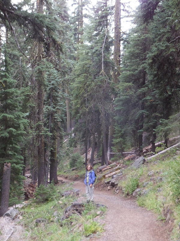
Norma and I arrived at
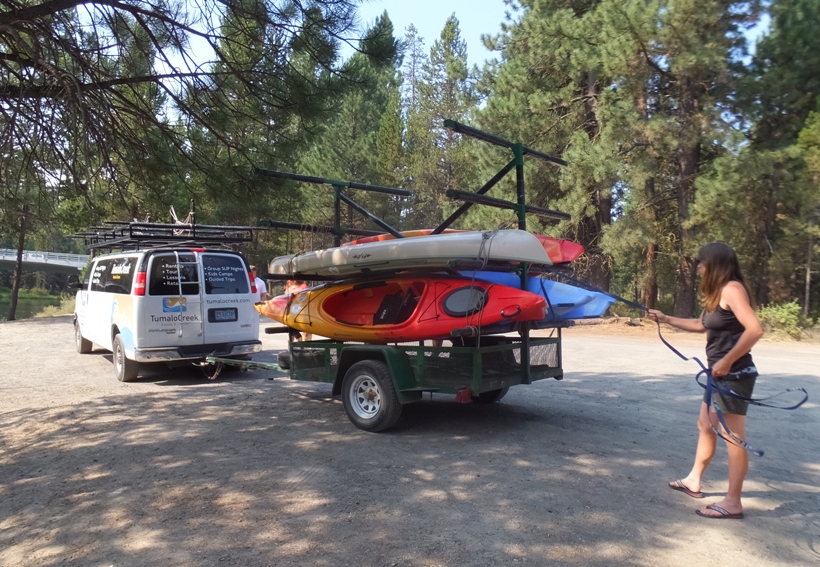
Tumalo Creek Kayak and Canoe. We met our guide, Ingrid, and two other couples that would be joining us for the
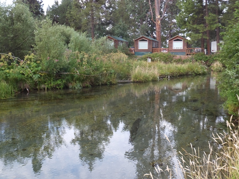
Lapine State Park to
Big River Campground 9.4 mile downriver trip on the
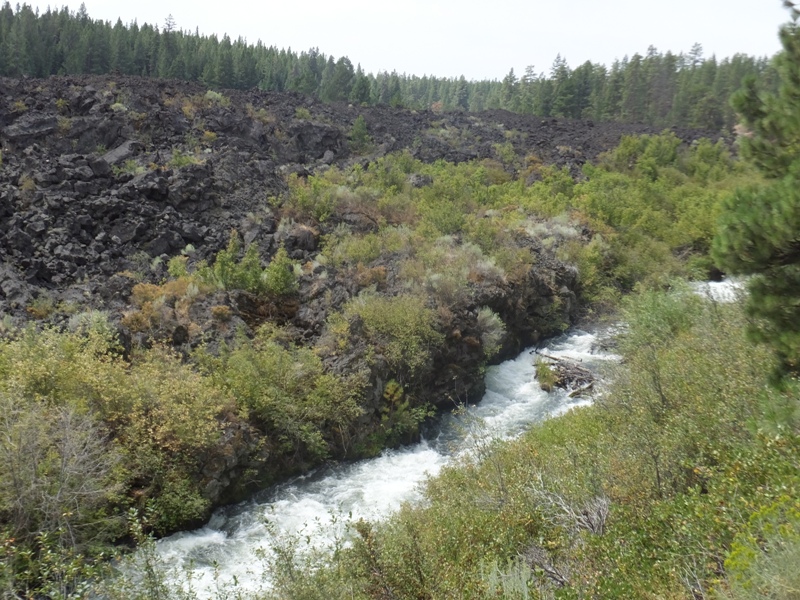
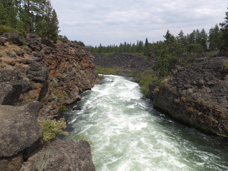
Deschutes River. This section is part of the
Deschutes Paddle Trail.
When I originally looked for a kayak trip in the
Bend area, I was inundated with information about whitewater trips. Websites tended to focus on guided rafting tours and kayak routes for experience whitewater paddlers. But Tumalo Creek Kayak and Canoe was different in that it offered flatwater trips. I was hoping to simply rent a tandem kayak so we could explore on our own but I quickly learned that the places that offered flatwater paddling turned into rough whitewater if you took a wrong turn or didn't get off the river in time. So I chose a guided trip.
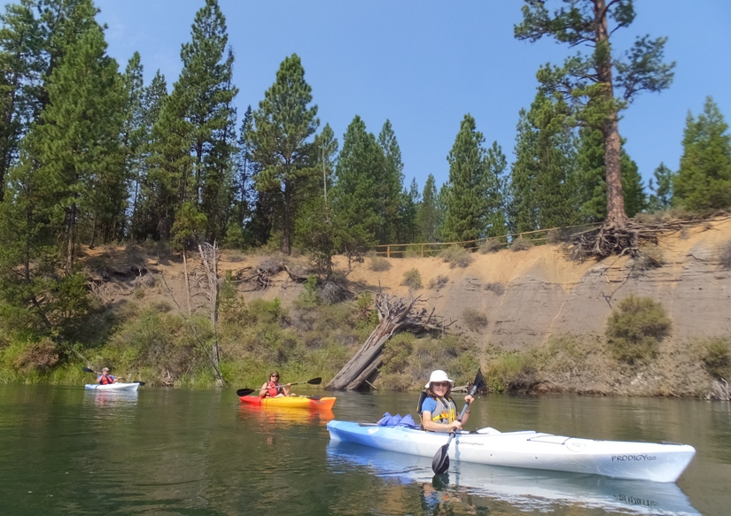
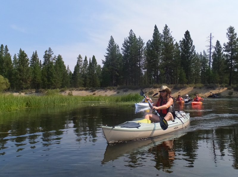
We all had 12 foot long recreational boats...except me who had a 10 foot long boat. That was fine with me. Norma was in a
Perception Prodigy 120 while I was in a
Perception Prodigy 100.
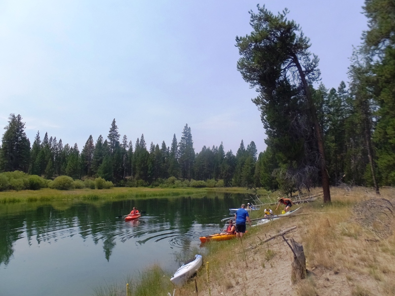
Keoni (one of the staff) helped Ingrid set up the van shuttle to ensure one would be waiting for us at the takeout, which was to our north. Yes, unlike most places, the Deschutes River flows to the north.
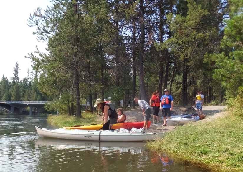
In the below photo, Ingrid is unloading the boats at Lapine State Park. She is from British Columbia, Canada. When she isn't leading kayak tour groups, she teaches snow skiing or leads canoe/kayak trips for kids in camp.
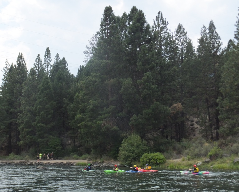
Norma and I were some of the first ones in the water so we waited while the others launched.
1 / 3

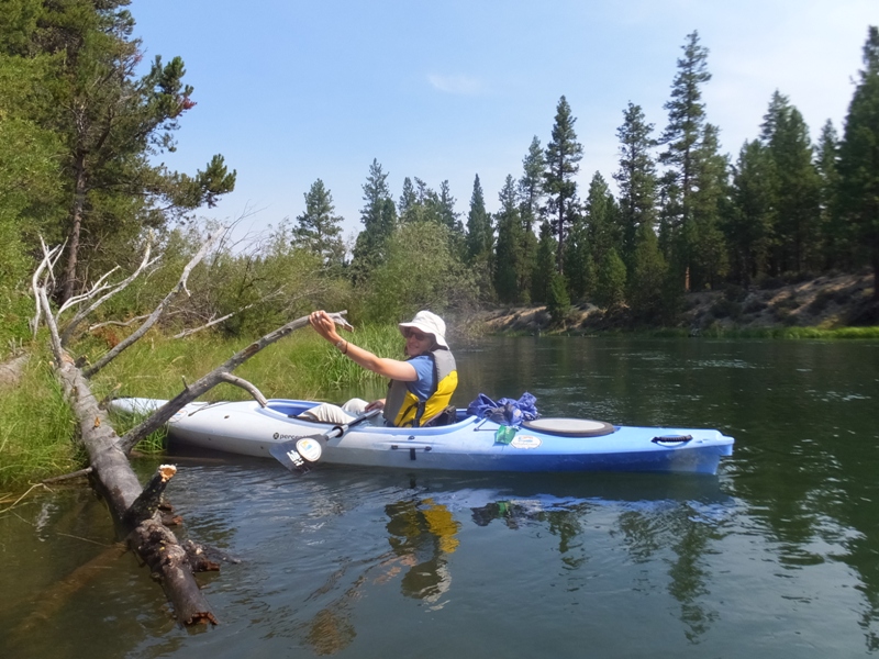
Norma kayaking.
2 / 3
Me kayaking.
3 / 3
Others launching.
❮
❯
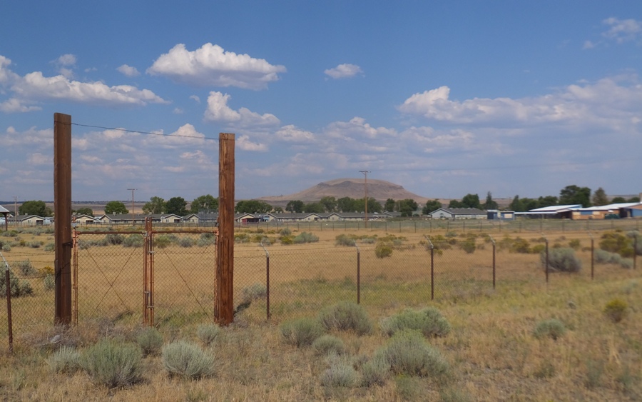
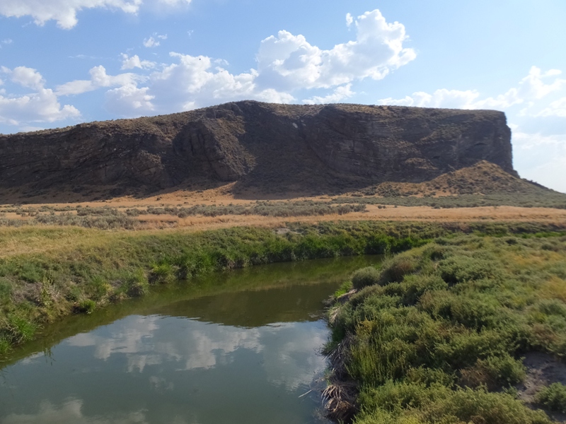
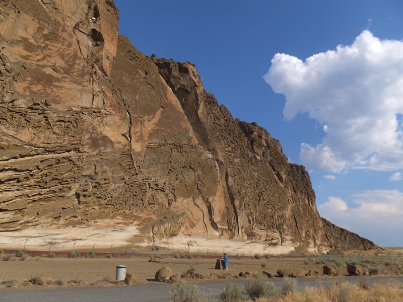
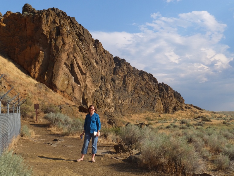
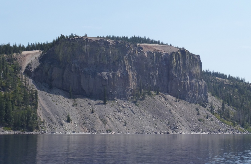
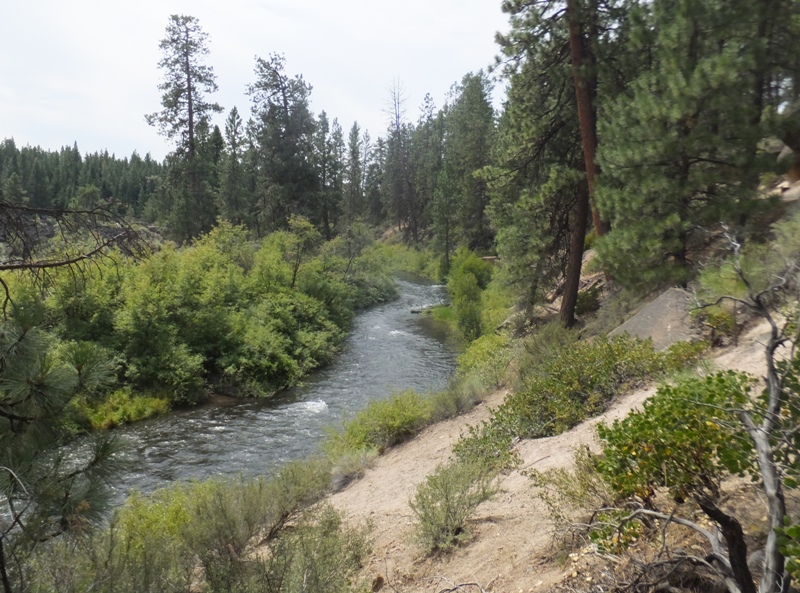
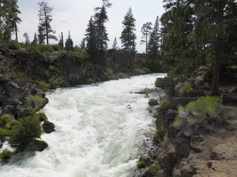
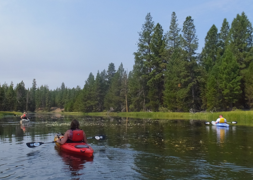
Fenced cliffs and trails in the park lined the river.
There were a few riffles but nothing that a beginner couldn't handle.
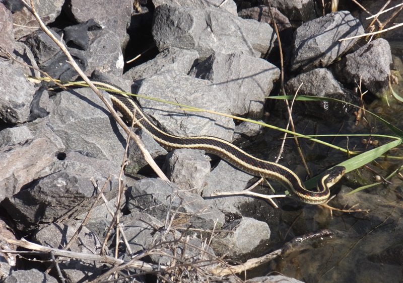
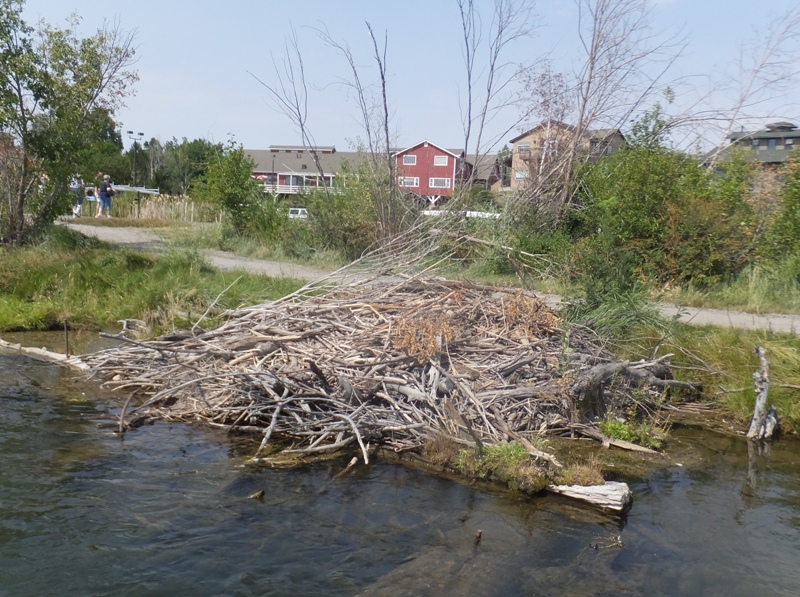
I spotted a beaver lodge but no beaver.
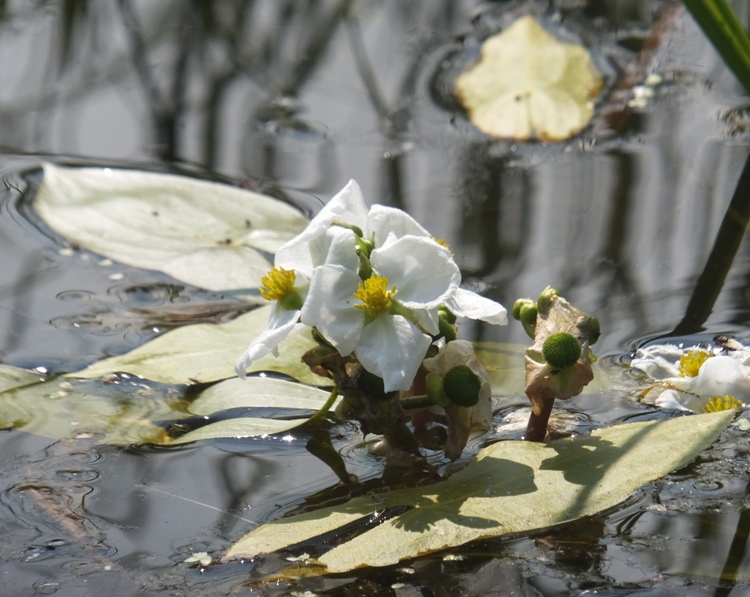
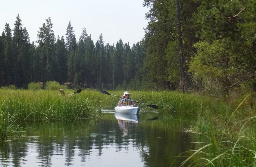
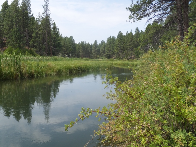
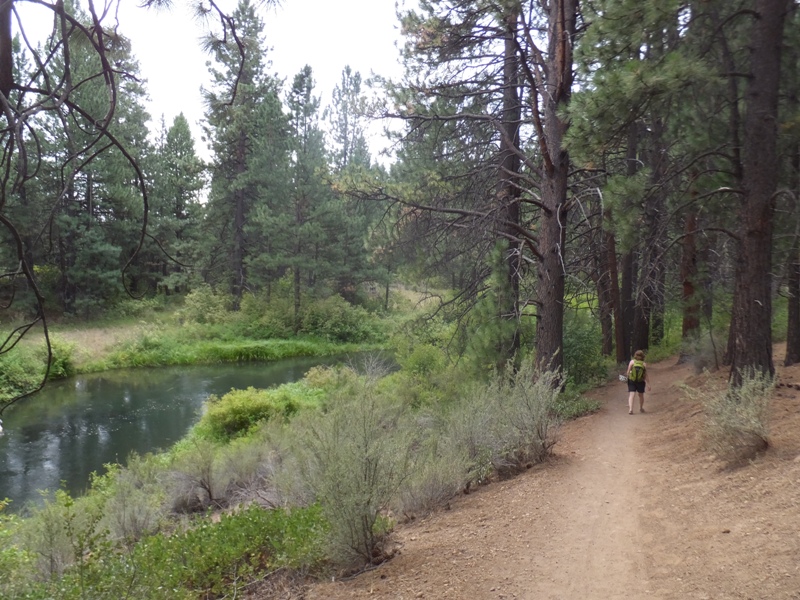
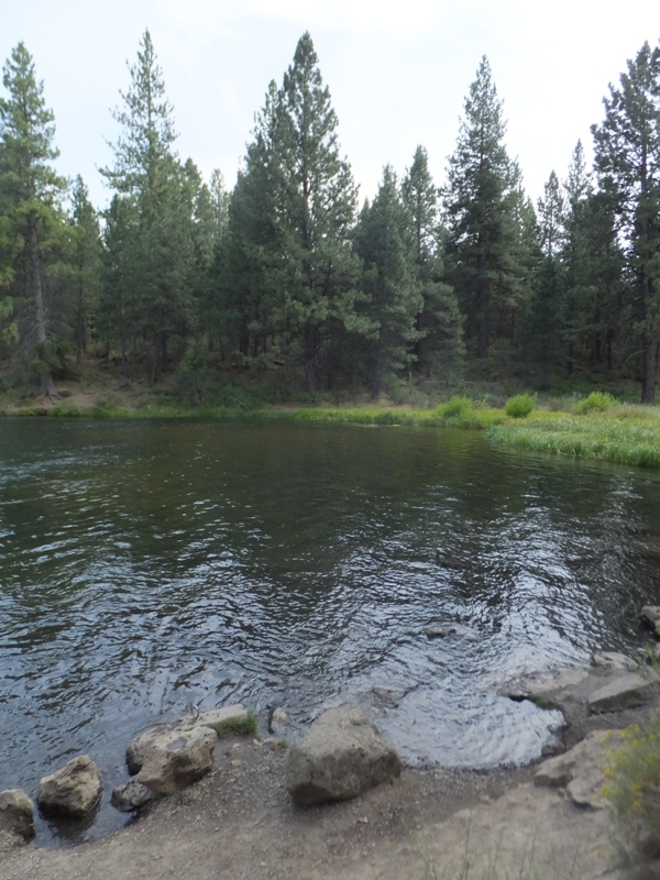
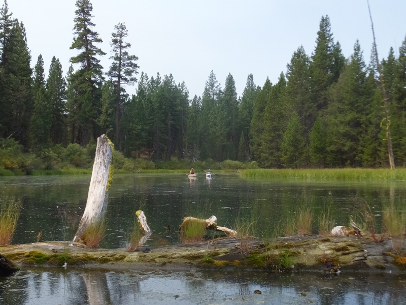
Eventually, we came to one particularly calm section that I believe was a tributary of the main river. There, we saw some flowers that I thought were likely some type of water lily that had seen better days.
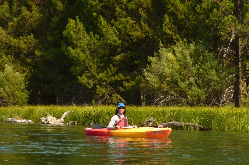
Ingrid led us through this section on her
Eddyline Carribean 12 sit-on-top kayak. This area was especially serene and natural. I was hoping to see some wildlife but all we saw here were some small fish and a great blue heron.
1 / 3
Ingrid kayaking.
2 / 3
Serene.
3 / 3
Natural.
❮
❯
There was one woman in the group that was particularly loud and talked a lot. She reminded me of a former co-worker of mine.
The tributary appeared to end but it turned out there was a cut through that connected it back to the main river.
After awhile, we pulled over for lunch. Sandwiches that we ordered were made by a local restaurant and provided by the outfitter.
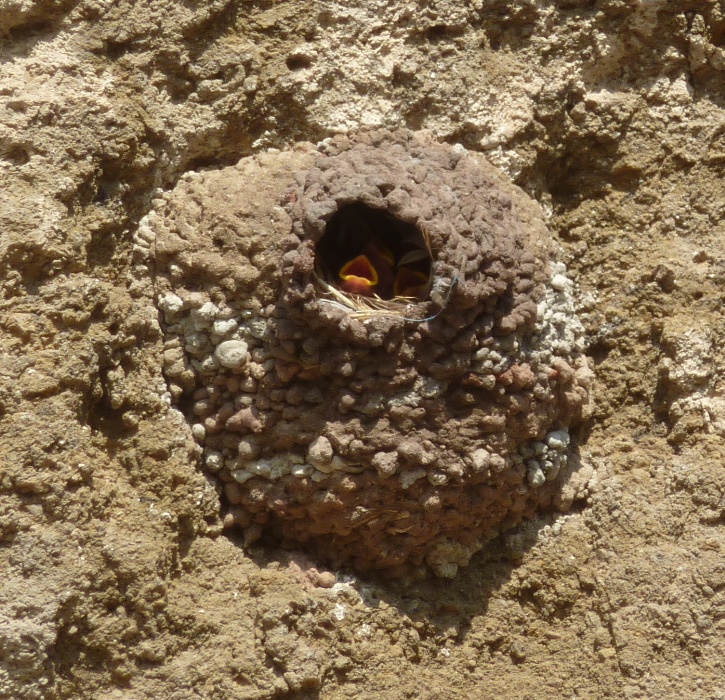
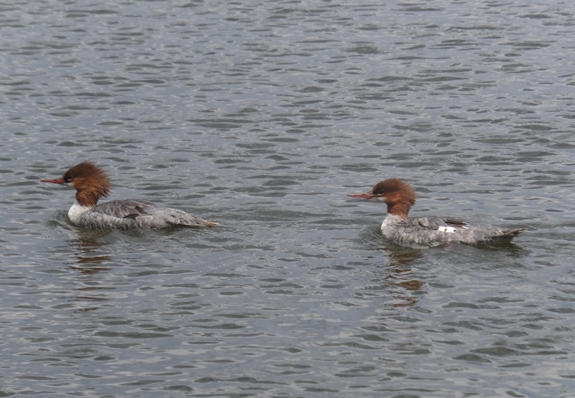
I saw some kingfisher birds along with a cormorant in a tree.
I think by the end of the trip, the loud, chatty woman was getting tired because she became silent.
Norma and I both still had quite a bit of energy left so we raced each other. With me in a shorter boat, my handicap made us pretty close to equal. Ingrid told Norma she has good form. I think Norma is a stronger paddler than she gives herself credit for. But I still beat her...not by much.
We finished by mid-afternoon. The route was nice and scenic through I wouldn't describe it as being any more interesting than the
Monocacy River in Maryland. Still, it was a great day...almost any day on the water is a great day, right?