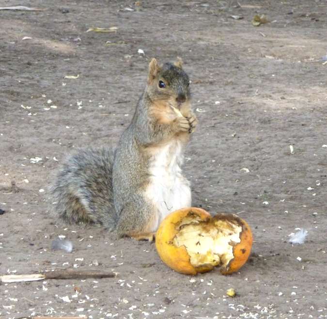
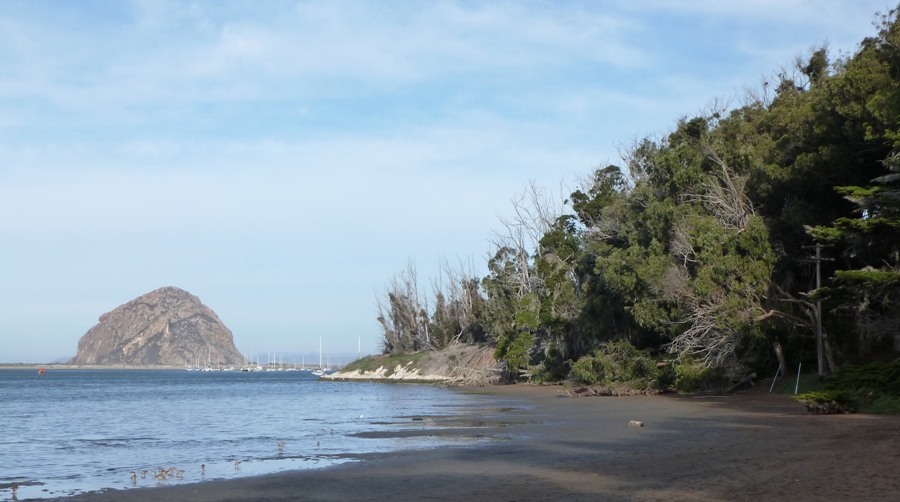
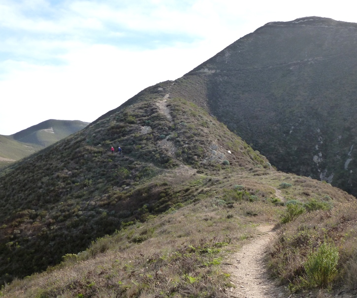
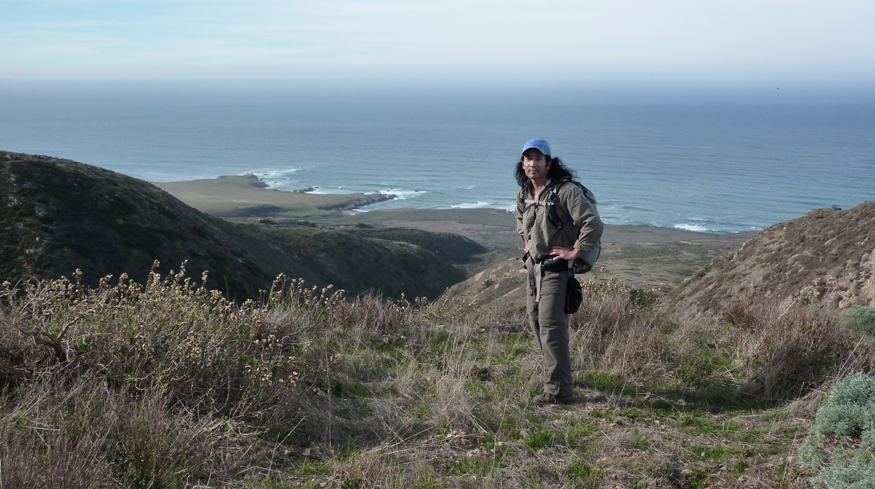
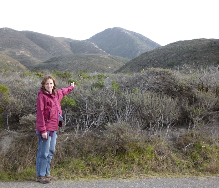
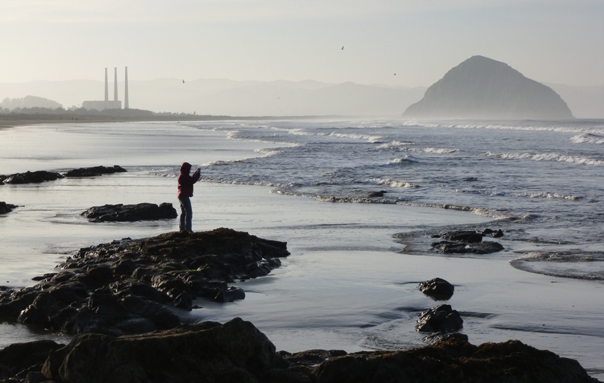
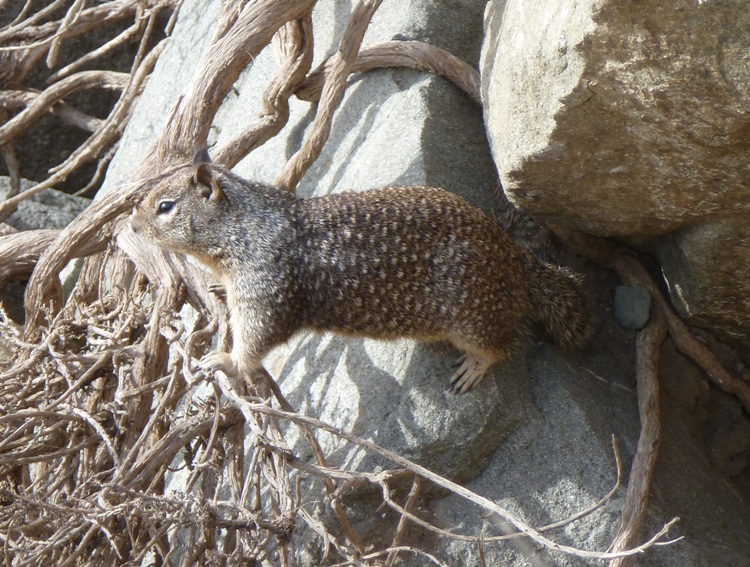
Norma and I drove back to the place in San Simeon with the kayak outfitter. But before visiting Cubby, we stopped in at the
Coastal Discovery Center. Here, I was reminded of a movie that we recently saw called
The Incredible Mr. Limpet from 1964, starring
Don Knotts. Up until now, I didn't know what a
limpet was. But the center had one.
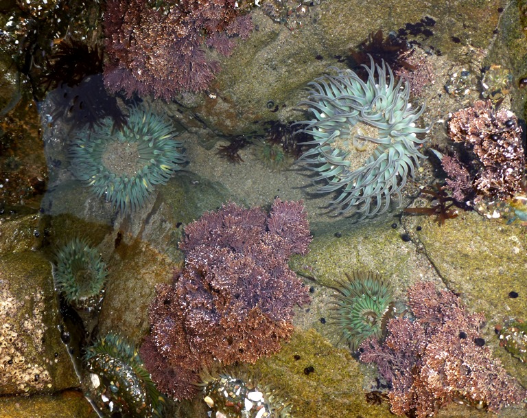
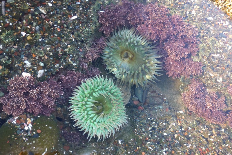
A limpet is a flattened marine snail which can grind a groove in a rock until their shell fits perfectly into their "homesite." When the rocks are wet, limpets move about, grazing on diatoms (microscopic plants) layered on the rocky surfaces. If the rocks are dry, limpets must take action to conserve moisture. They return to their homesites, where they snuggle in by clinging tightly with their muscular feet.
- from display at Coastal Discovery Center
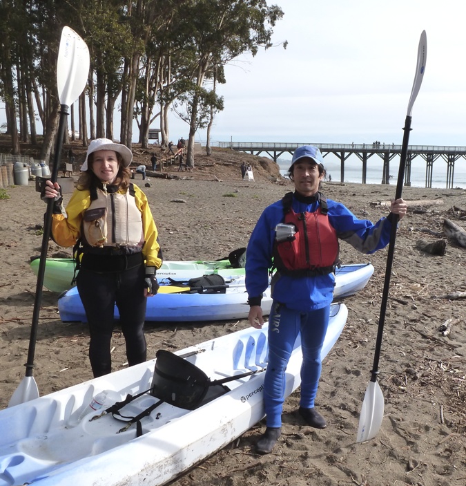
At the outfitter, Cubby set us up with a
Tribe 13.5 tandem sit-on-top
Perception kayak, paddles feathered to our liking, wetsuits, and splash jackets.
Cubby asked us if we needed help launching and I said we were good...or so I thought.
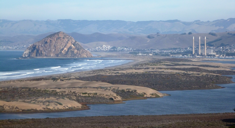
Pacific waves in California are different than the Atlantic ones I've seen in Maryland and Delaware. The former are bigger and start further out from shore. Norma and I stood just above the waterline and then waited for small waves. When I thought the series of big waves were through, we made a sprint to the water, carrying the boat and our paddles. Once we were waist deep in water, we hopped on and paddled furiously, keeping the boat perpendicular to the waves. We rode over a small wave but less than five seconds later, a second wave hit us, flipping the boat and throwing us into the cold water.
I believe the air temperature was in the high 60s or low 70s. The water temperature was about in the high 50s...about 10 degrees warmer than in Maryland. It seems strange because in the summer, the Pacific in California is much colder than the Atlantic in Maryland. Given the conditions, I felt a wetsuit and splash jacket was suitable...certainly no less.
Cubby came out to help us. He said we hit a double-wave, something I was unfamiliar with. Apparently, the timing of waves is different for double-waves. We mounted the boat while Cubby held the stern, standing waist deep in water wearing only shorts. He must have been
way cold. As waves came in, he pushed down on the stern so we could hop over them. After what seemed like five minutes, he told us "GO!" Norma and I paddled as fast as we could, making it past the breaking waves and into the three foot swells. Success!
With waves breaking so far out, I kept us about 40 yards from the shore.
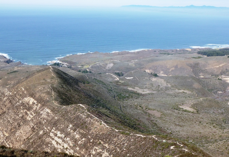
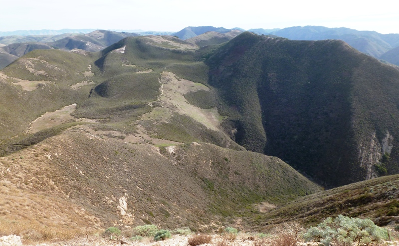
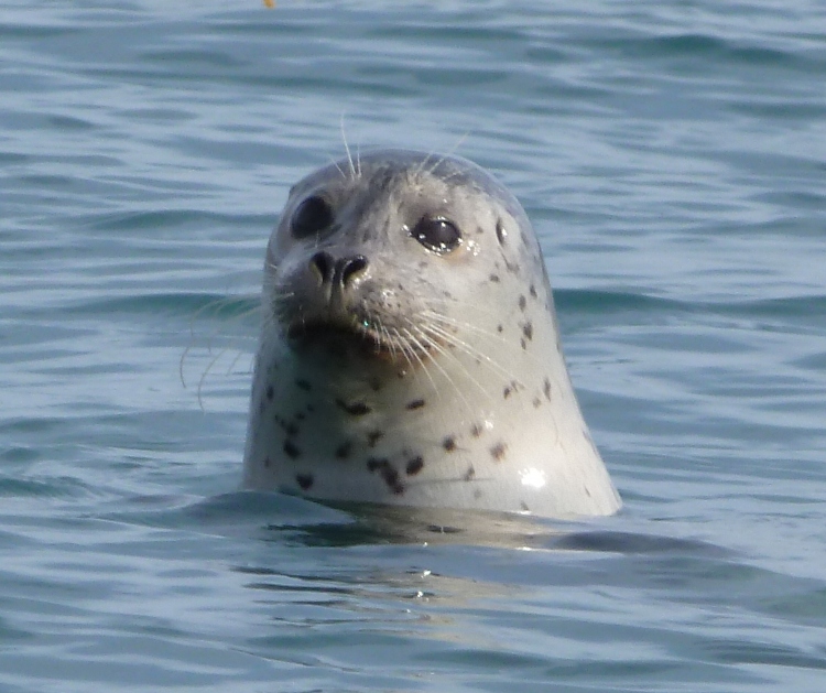
We paddled southeast to the kelp beds. Cubby said we would likely see wildlife out there and indeed we did. We saw numerous harbor seals that curiously popped their heads up to study us.
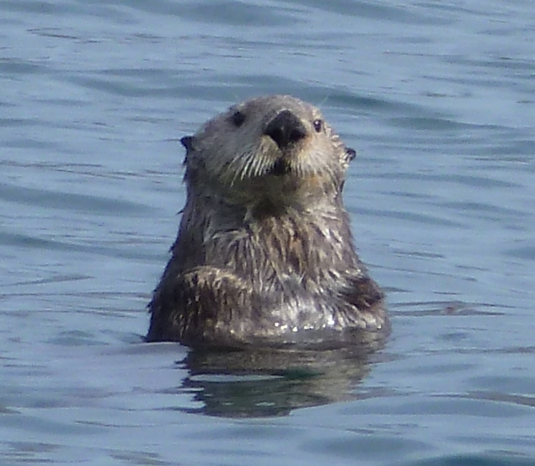
There were also at least a couple of sea otters.
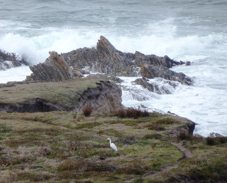
The kelp forests were interesting. I've scuba dived in them at
Monterey and found them to be full of aquatic animal life. I wondered what lay at the bottom of these plants. I'm sure it was rich in food that attracted the seals and sea otters. Nearby was other seaweed, more typical of the kind I remember finding as a child at
Martin's Beach in
Half Moon Bay, California. This seaweed, which I'd never seen on the east coast, has a big buoyant head about the size of a softball. The head is attached to a stem, about the size of my wrist. The stem then connects to several very long leaves. The buoyancy of the seaweed was sufficient enough for an egret to stand on. With the wave action, it was often difficult to distinguish between a seal and seaweed from a distance.
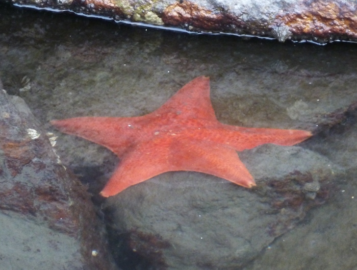
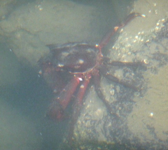
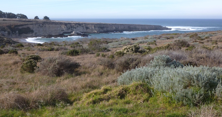
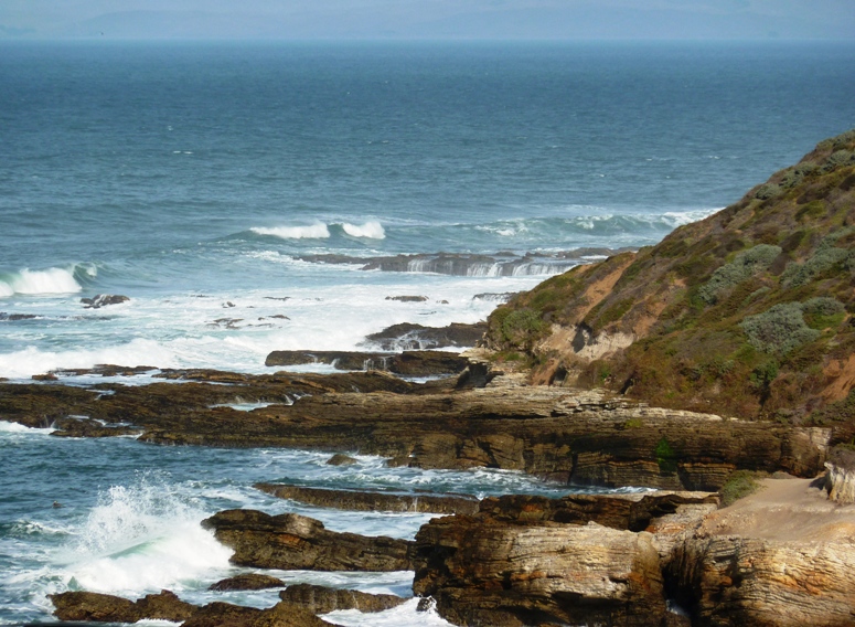
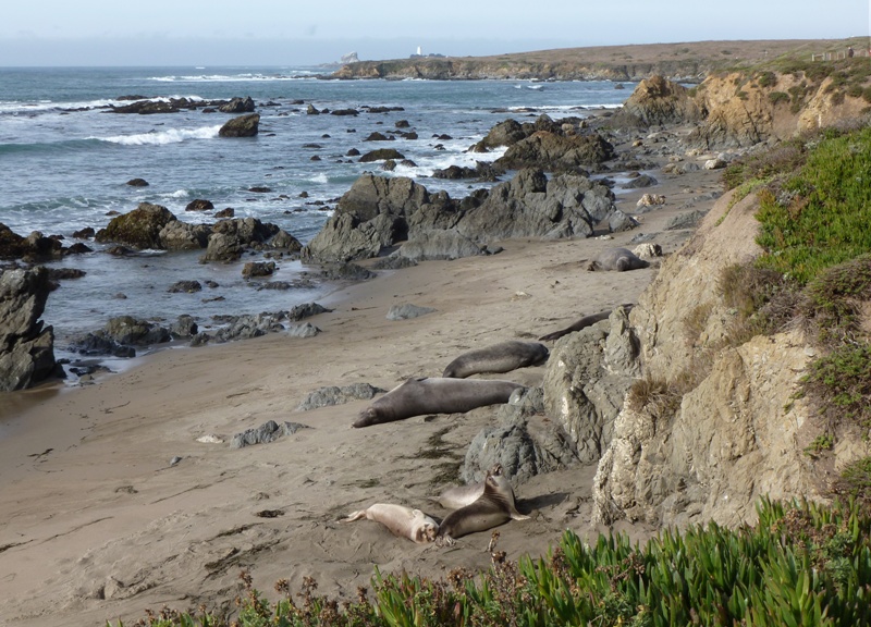
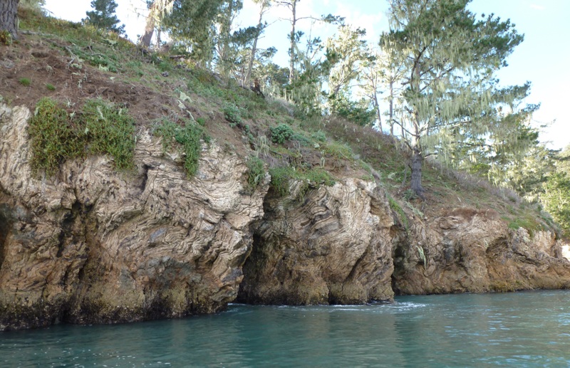
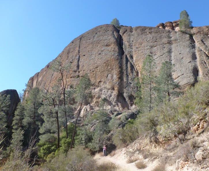
Next, we kayaked northwest to the cliffs on the south side of the peninsula where I spotted the caves from the pier. The rocks had some interesting patterns.
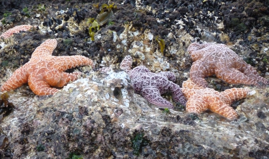
These were featured on Cubby's website so I figured they must be interesting. Indeed they were. But what I didn't expect to find was the plethora of starfish. Starfish are often elusive when we're out tidepooling but now they were abundant. They looked to be about eight inches across, in various colors: purple, red, and orange. I wondered why the variety of bright colors. It isn't like they rely on bright colors to attract a mate. I later learned the following:
Sea stars are often brightly colored, usually from reddish hues to violet, and unusual colors such as green and blue exist in some
species, but come in muted colors as well. Patterns including mosaic-like tiles formed by ossicles, stripes, interconnecting net
between spines, pustules with bright colors, mottles or spots. These mainly serve as camouflage or warning coloration displayed by many
other marine animals as means of protection against predation. Several types of toxins and secondary metabolites have been extracted from
several species of sea stars and now being subjected into research worldwide for pharmacy or other uses such as pesticides.
- from
Starfish - info and games
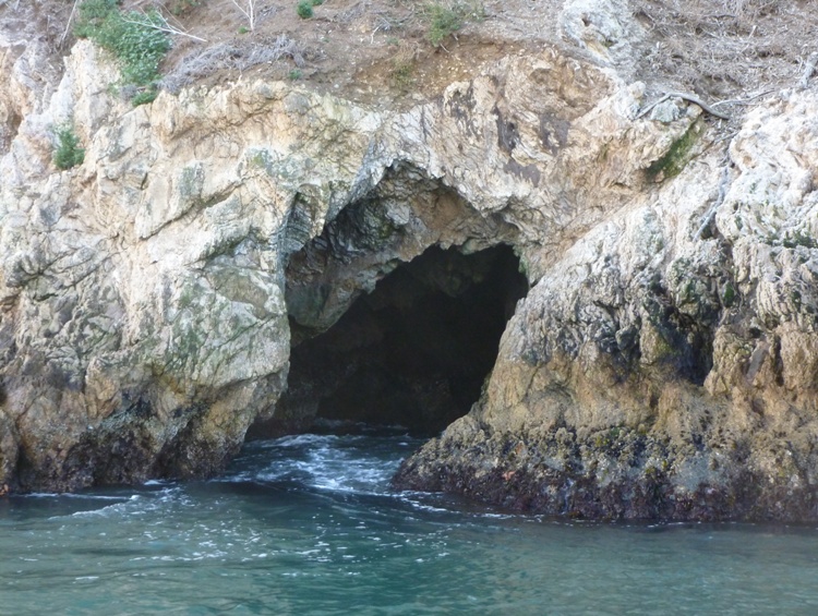
The rocky cave openings were tempting me to get closer and stick my head in but the swells from the ocean, which were now about 14 inches, were telling me otherwise. Unlike much of Maryland, which has forgiving muddy or sandy shores, these caves and cliffs were made of rock. So we kept our distance.
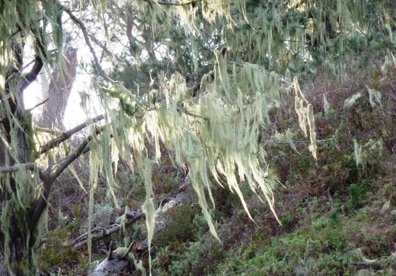
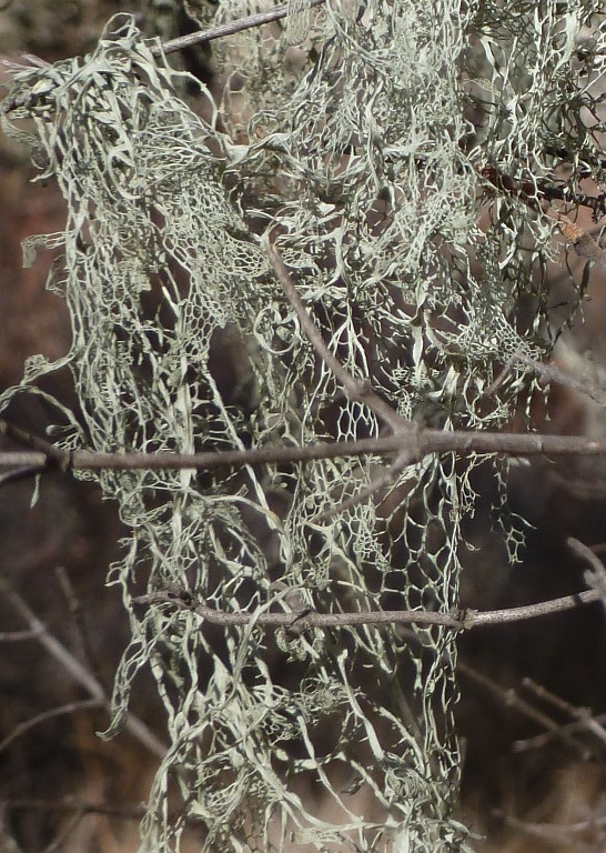
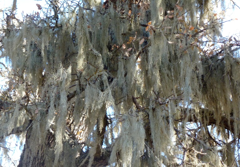
At the top of the cliffs were trees harboring "Lace Lichen." This reminded me of the
Spanish Moss we saw in
Florida during April 2010. In fact some people refer to Lace Lichen as Spanish Moss but it was clearly different than the Spanish Moss in Florida. But both survive living on trees in very humid environments. Coastal Calfornia fog provides enough humidity for Lace Lichen to thrive. But by mid to late morning, the fog is gone, leaving bright sunny skies and dry weather. Here's some lace lichen.
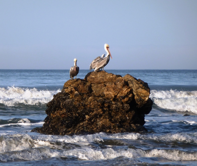
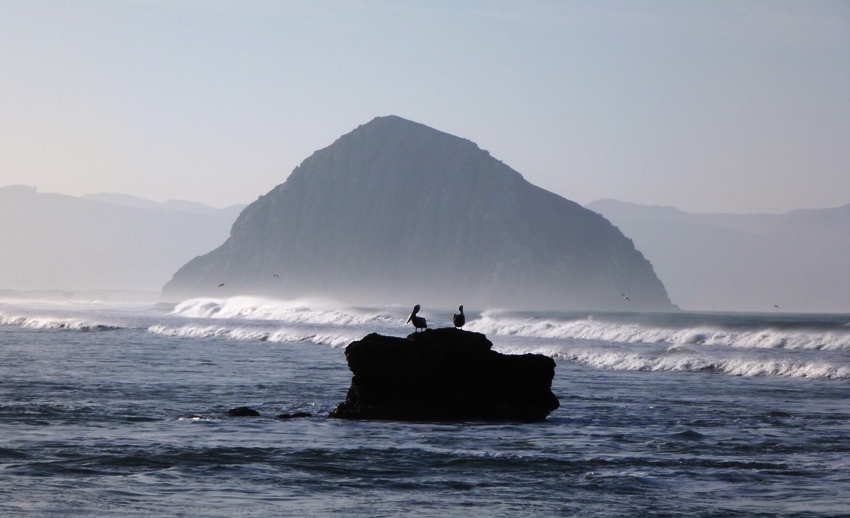
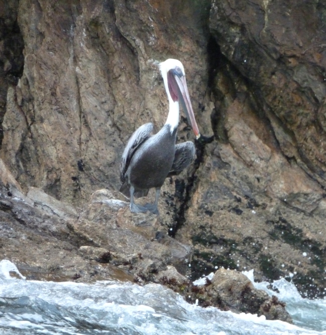
There were
cormorants and pelicans out on the rocks.
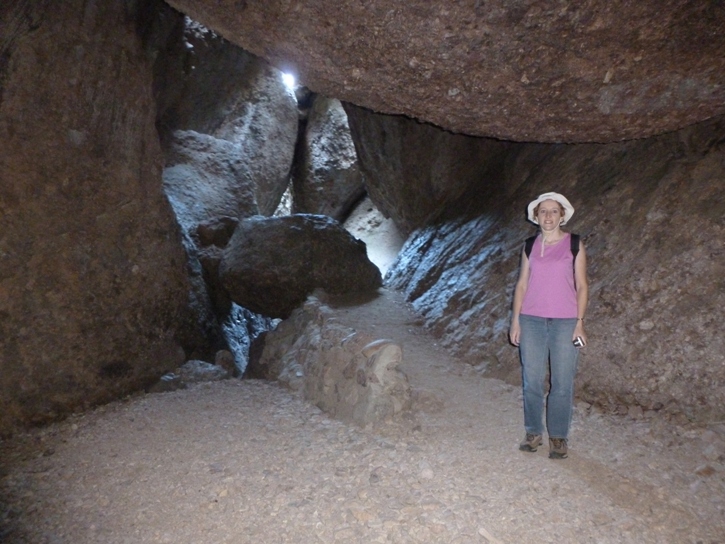
The little caves in the cliffs were very interesting but what was just as equally impressive were the arches. A big one tempted me to paddle through but I didn't feel I could safely keep us from crashing on the rocks with the wave action so we just made it near one of the openings then turned around.
1 / 2

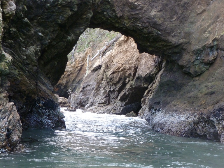
Rock tunnel.
2 / 2
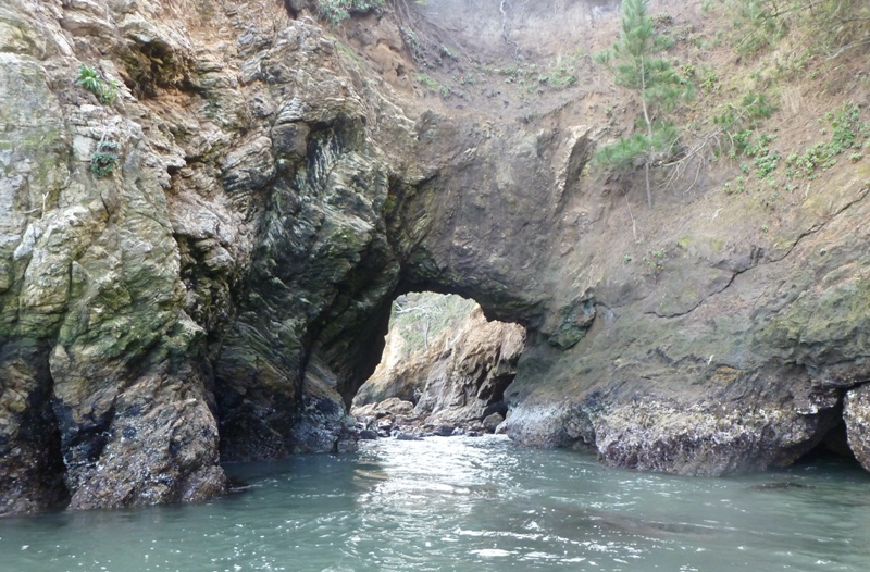
Zoomed out.
❮
❯
One spot remined me of a smaller version
Gulliver's Hole, which we saw on
July 6, 2009 in Maine. There was a loud rush of air created by waves crashing into a hollow space and forcing the air through a narrow opening.
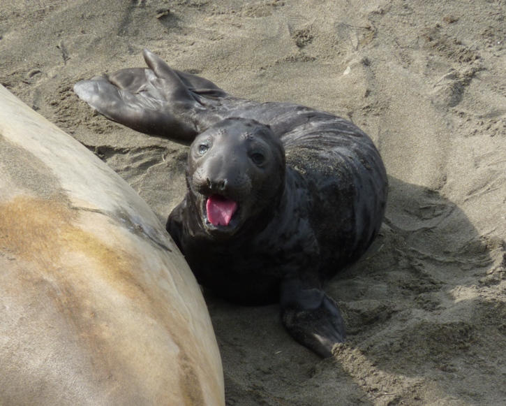
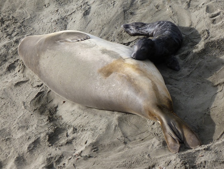
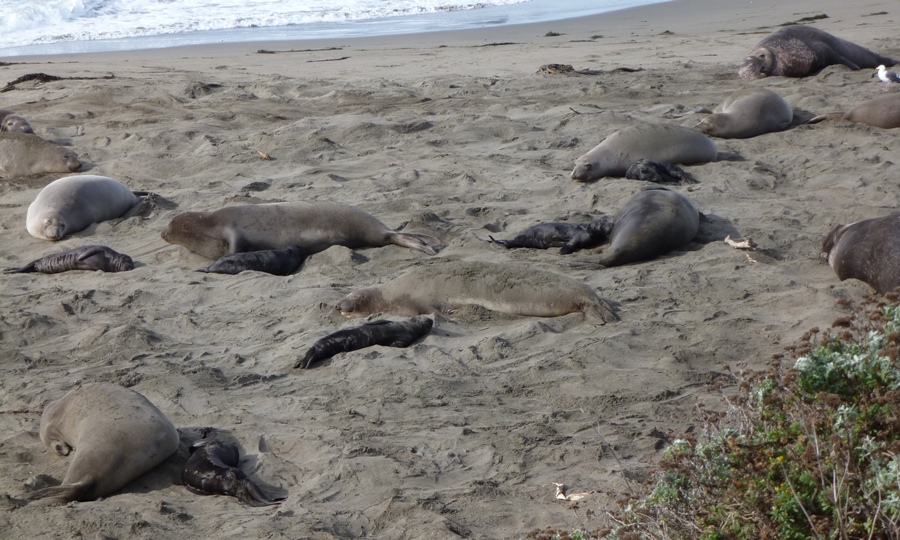
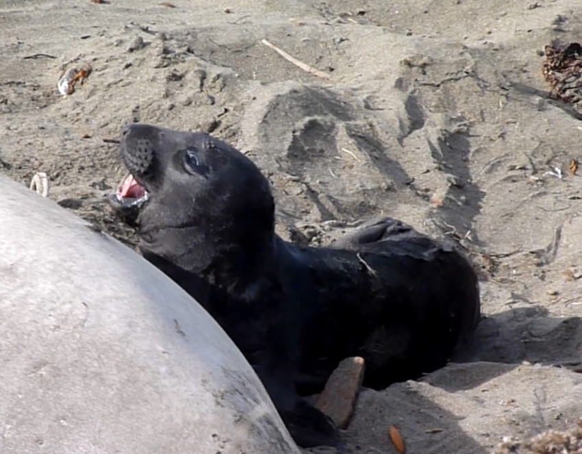
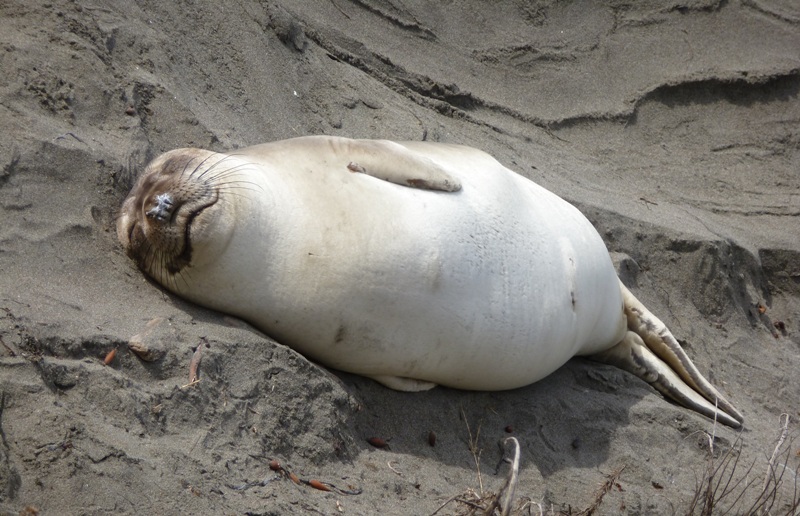
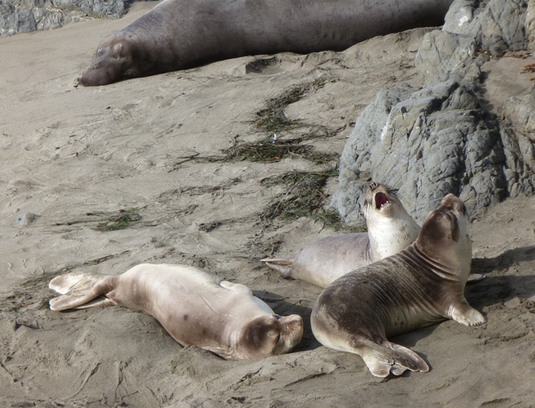
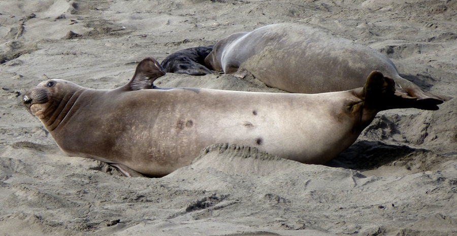
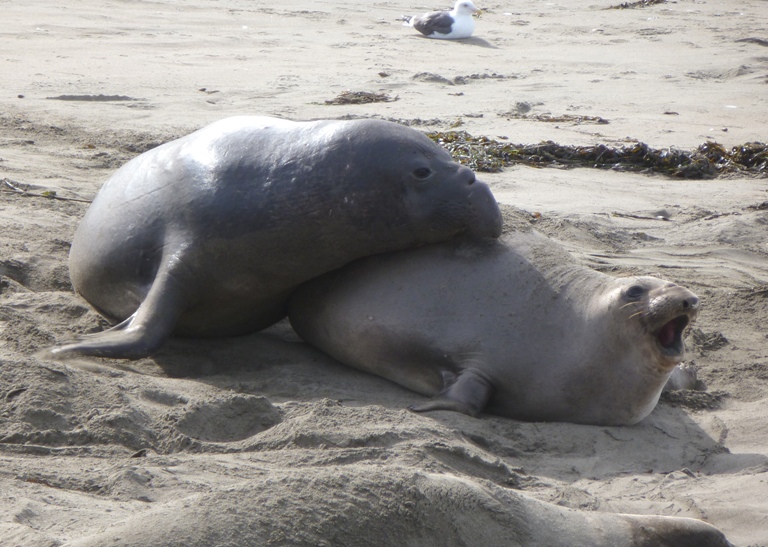
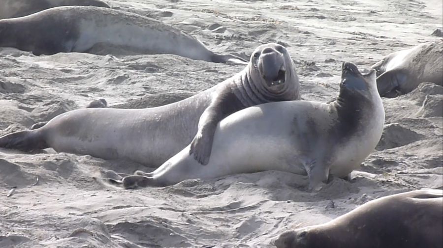
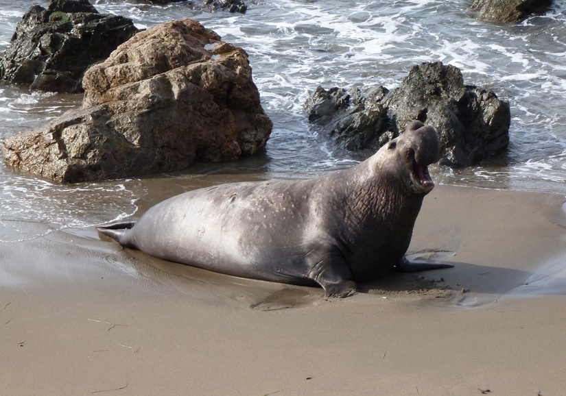
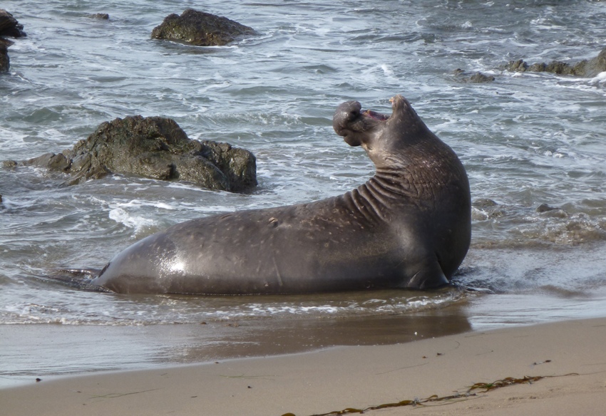
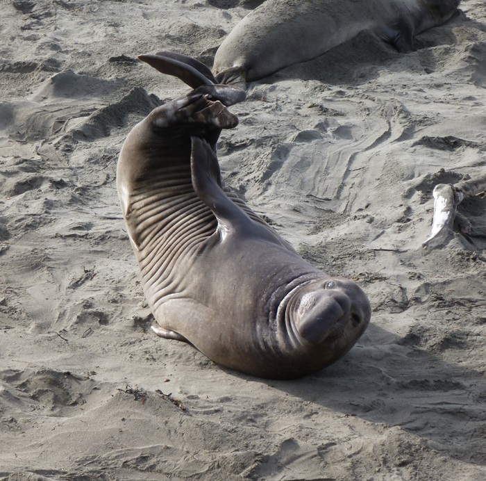
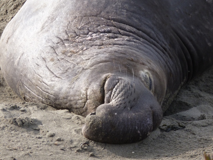
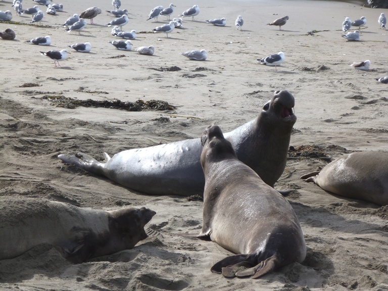
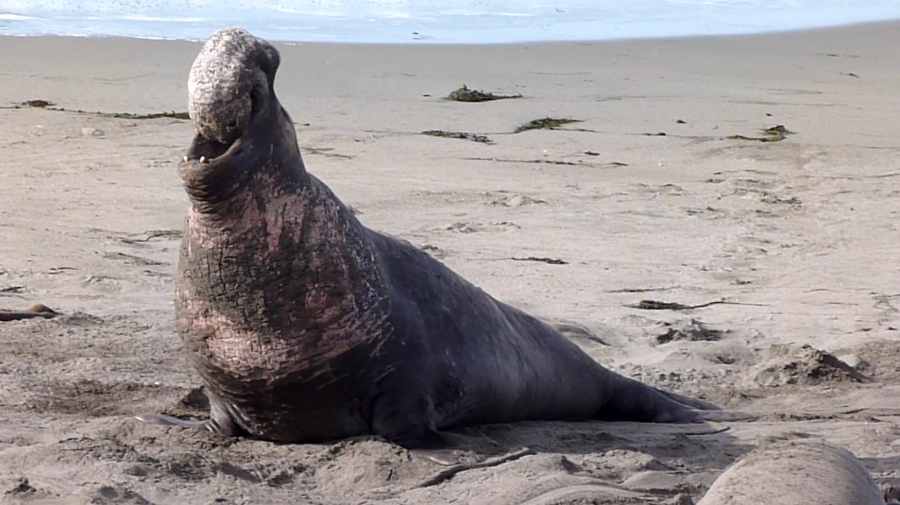
We didn't venture out to the tip of the peninsula. Cubby said that out there, some elephant seals were spotted but I think we got our fill of these creatures for the day. Plus, the swells were much larger in that area.
After about two hours of kayaking, we had seen what we wanted and were ready to land. But just how we would do that had us both a little concerned. In Maine, I stayed just outside of the breaking waves, watching for small waves. When I was confident the waves would be small, we paddled hard towards the shore, keeping the boat perpendicular to the waves. It is pretty much the reverse of how I launch. But clearly my plan to launch failed because I couldn't read the waves. After paddling for a short time, I was not much better at reading San Simeon Bay than I was earlier.
I chose to land on the beach, just a little southeast of the cliffs and about 175 yards northwest of where we started. Here, the waves might be a bit smaller since the area was more sheltered by the peninsula. After timing the waves and letting the big ones pass, we made a mad dash to the shore. We paddled as hard as we could but it seemed like we weren't getting anywhere. The problem was that as we pushed our way to the shore, a recent wave was receding, pulling us out with it. It was just a matter of time before the next wave came in, hitting us hard and flipping the boat. But at least we were now on dry land. Thinking back, I don't know how I would have done things differently.
We carried the boat back to the outfitter. We told Cubby about all we saw. He said that when the water is calm, one can easily paddle into the caves. According to him, one of them is pretty big too. If we were to return here, I'd want to paddle at low tide so we could more easily access the caves and get a better view of the starfish, which seem to cluster near the median waterline.
Cubby was friendly and extremely knowledgeable about the area. If you want to see the area via kayak, I highly recommend his business. And if you're not so comfortable in a kayak, request a guided tour.


