The original plan for the day was for us to go for a walk at the
Gray Lodge Wildlife Area to see the sandhill cranes. We were there last on
October 17, 2013. But with all the rain, this area was not in the best of shape. So instead, I figured we'd head out to
Auburn and go hiking along the North Fork of the
American River.
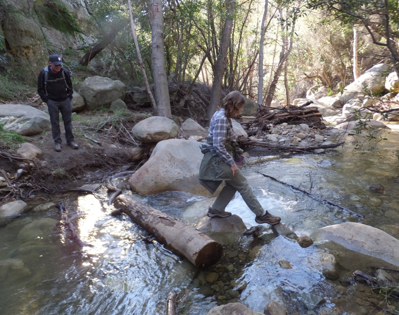
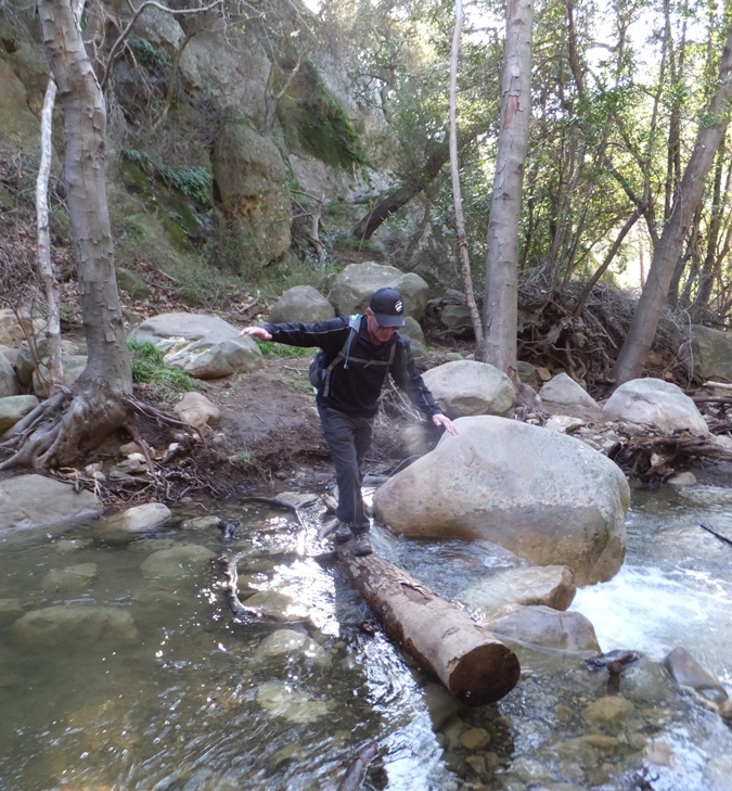
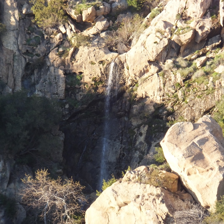
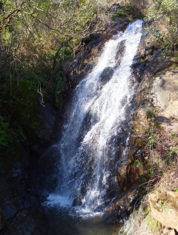
The plan was to also include a walk to
Calcutta Falls (a.k.a.
Canyon Creek). If there's one thing a lot of rain is good for, it is making waterfalls!
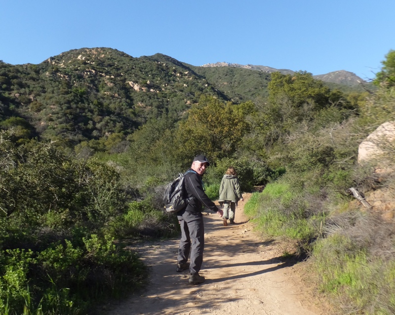
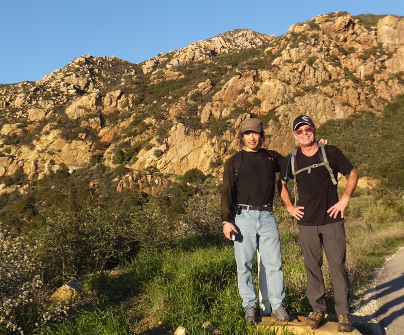
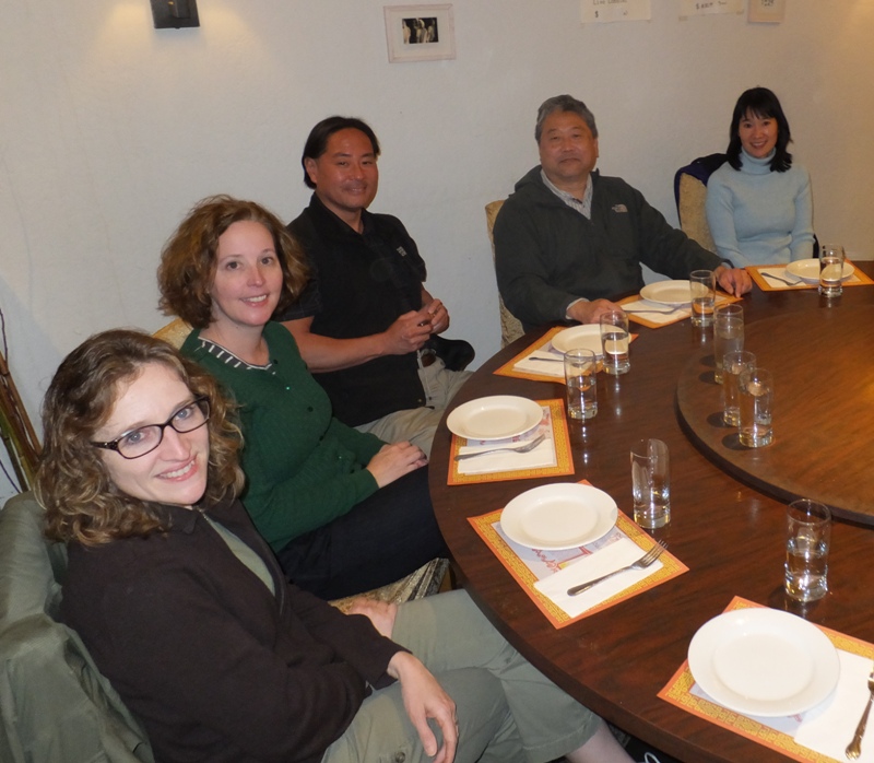
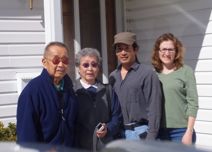
Norma and I met my cousins and their families at the trailhead then commenced our little hike.
We started on the east side of the river heading south but soon crossed the
Mountain Quarries Bridge (a.k.a. "No Hands Bridge") and continued the rest of our journey on the west side of the river.
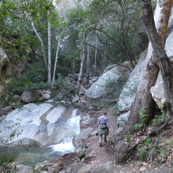
It didn't take long before we made it to the falls.
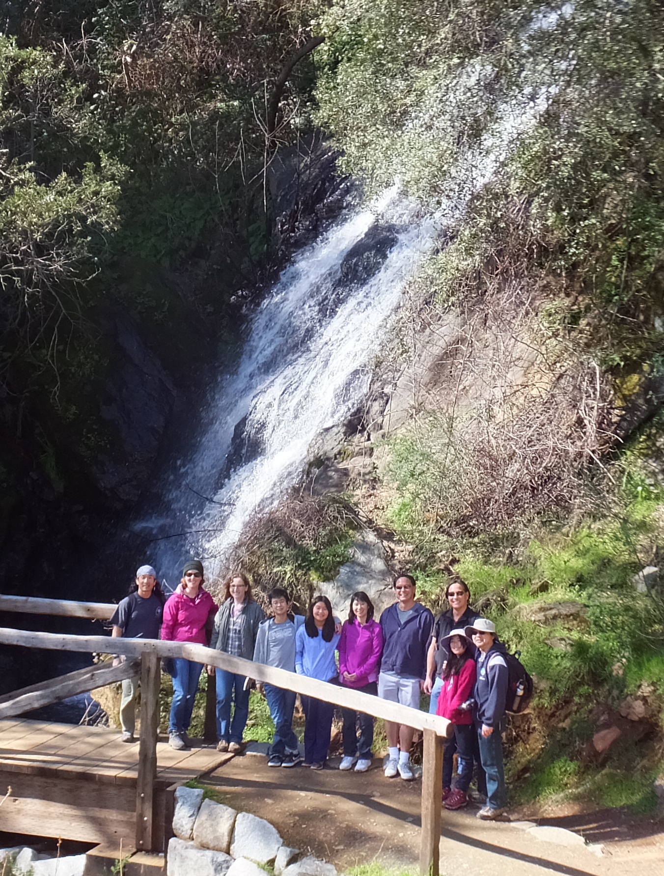
I was right. All the rain made it much nicer than on-line photos describing the place. In the below photo from left to right are me, Lydia Y., Norma, Tim Y., Alyssa Y., Nancy Y., David Y., Scott Y., Sasha (Stephanie) S., and Alex S.
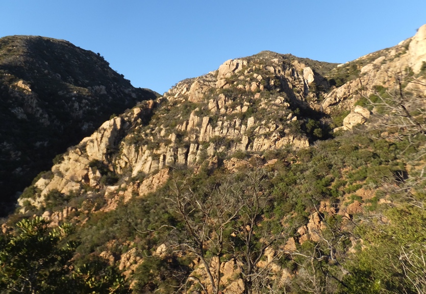
The trail we were on is part of the
Western State Trail which is the path for a 100 mile endurance run. We saw several runners out that day.
Our group turned around at
Robie Point. We could have actually driven here which was a little disappointing.
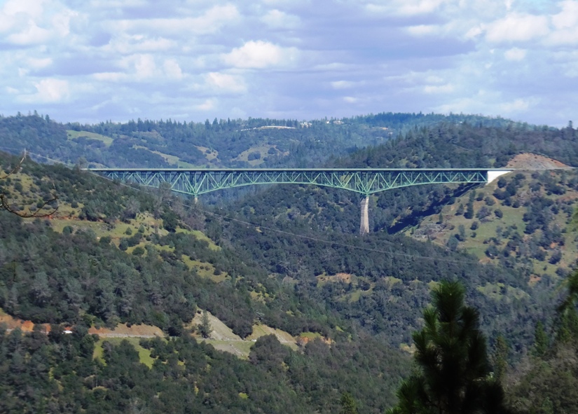
On the way back, we had a nice view of the
Auburn-Foresthill Bridge.
The second highest bridge in the world upon its opening in 1973, the Auburn-Foresthill bridge is still among the 5 highest bridges in the United States. Although it is no longer even among the 65 highest bridges in the world, the 730 foot (223 meter) high green giant still has the distinction of being the world's highest cantilever bridge.
- from
Highest Bridges - Auburn-Foresthill Bridge
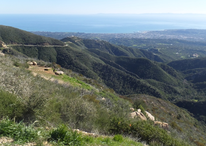
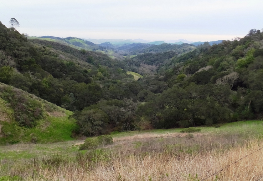
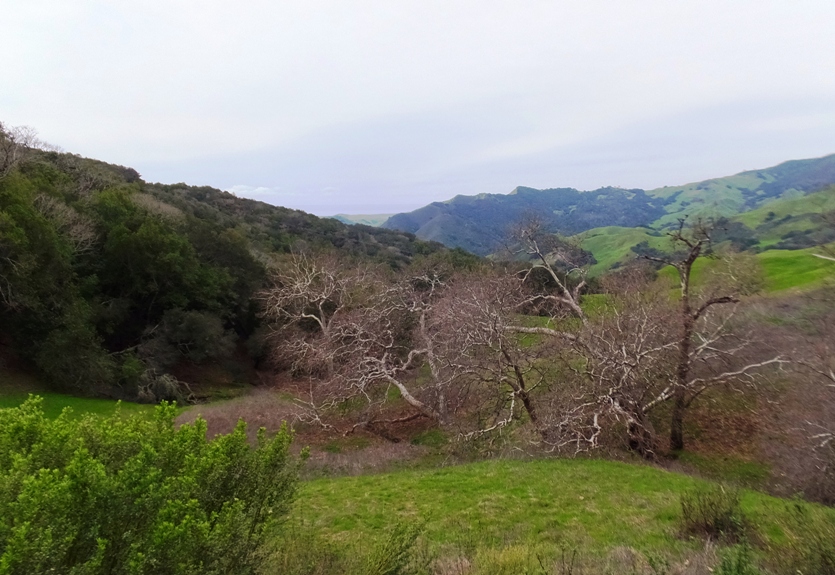
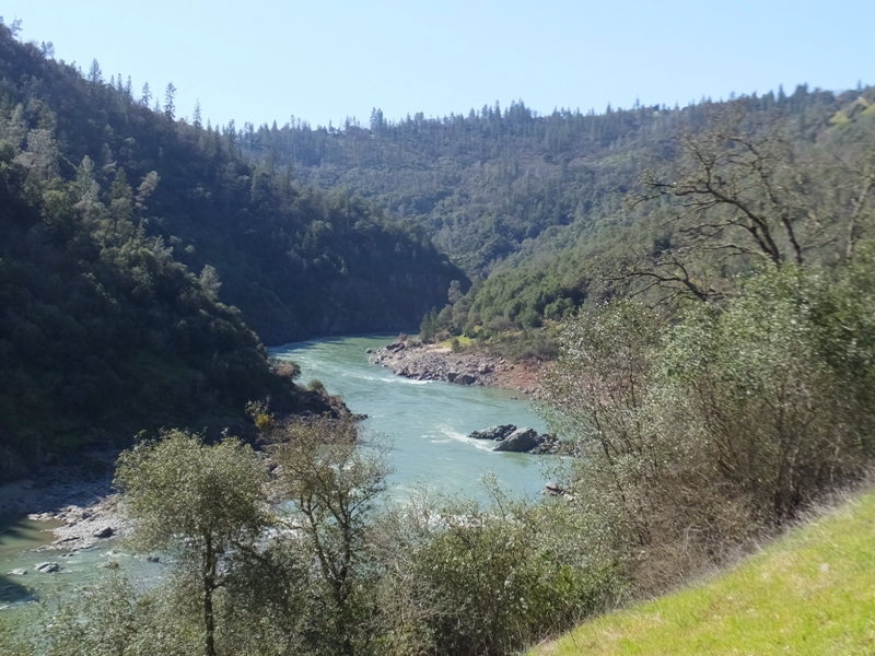
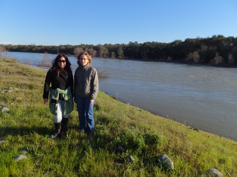
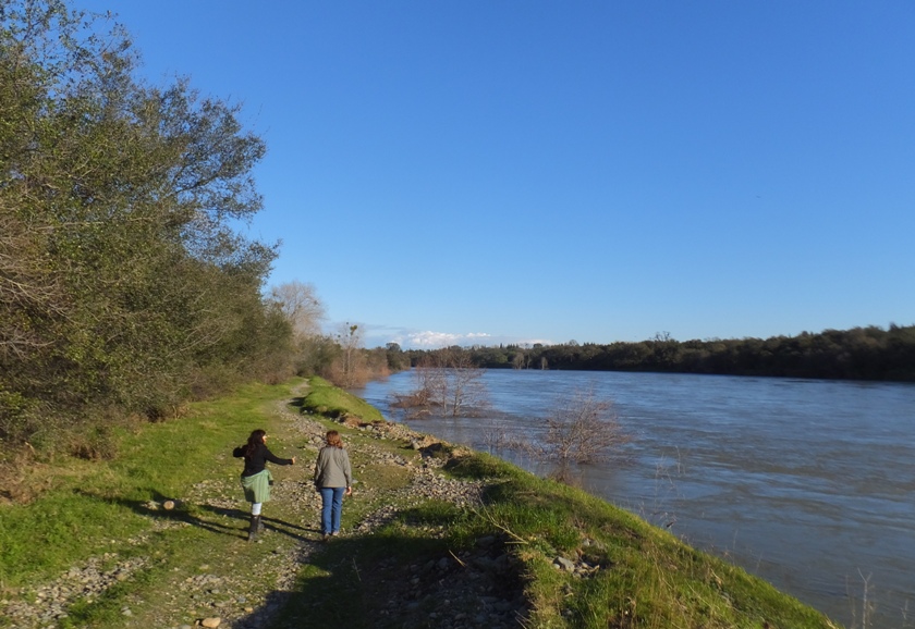
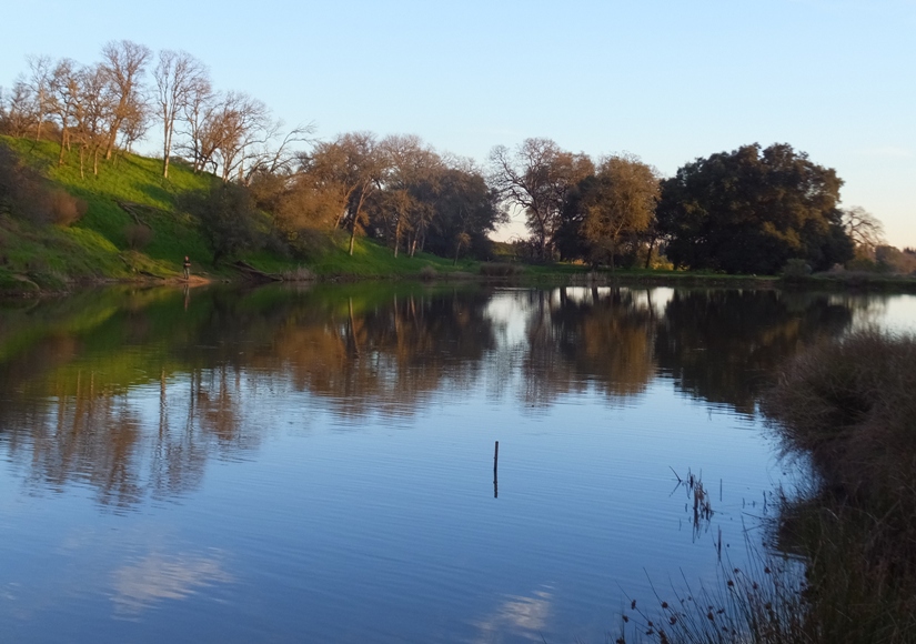
We had many scenic views of the river below.
1 / 2

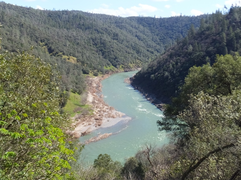
River.
2 / 2
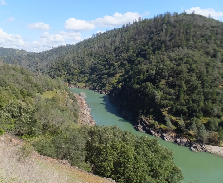
More river.
❮
❯